


- Kort beskrivelse
-
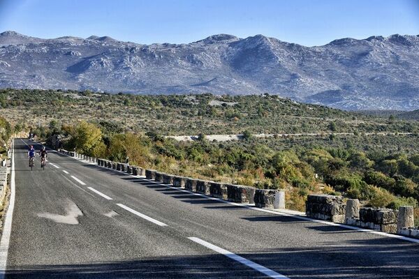
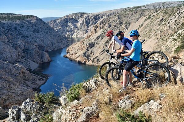
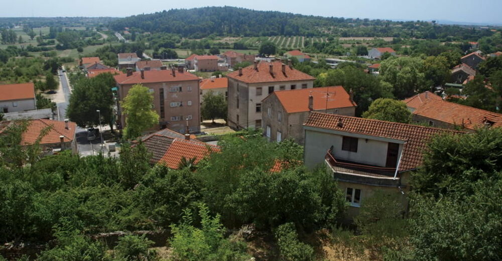
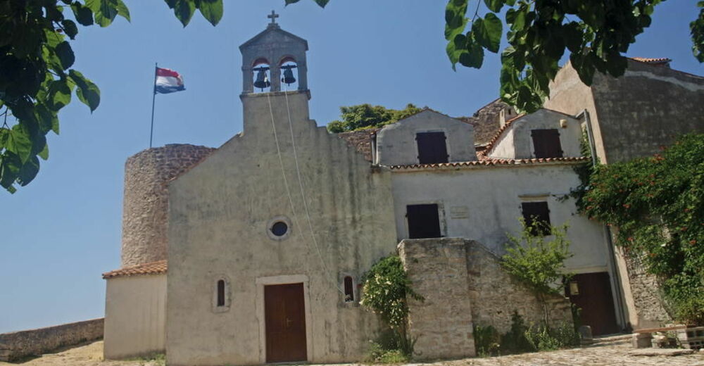
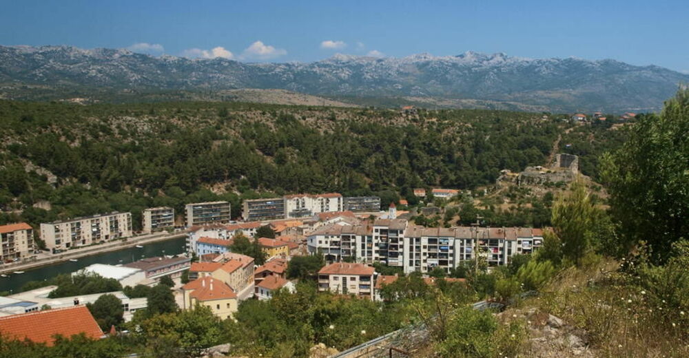
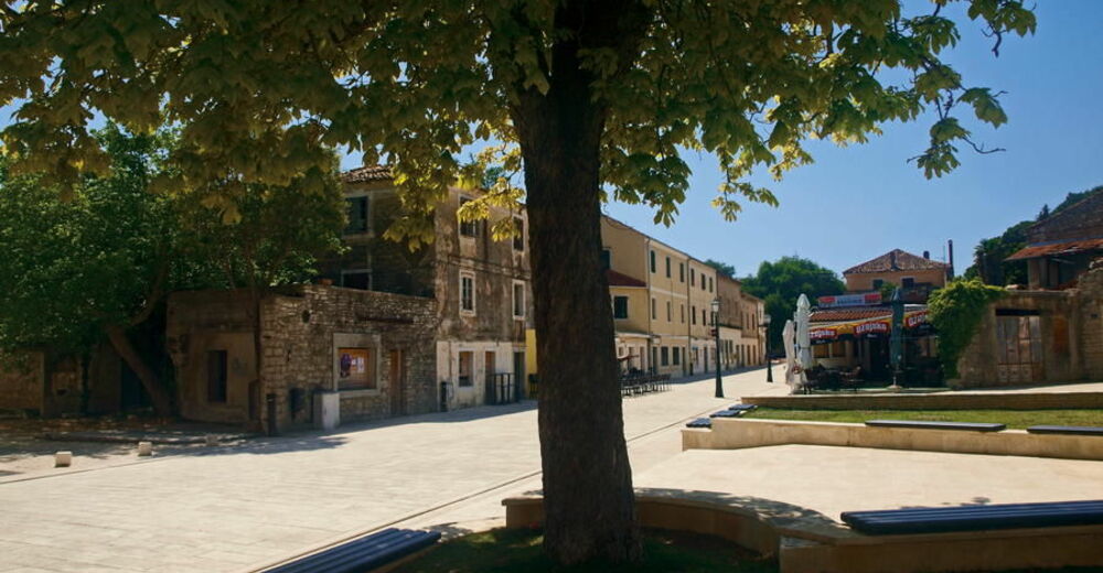
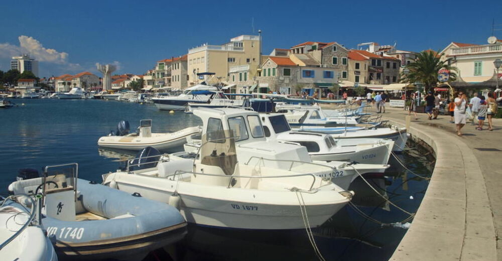
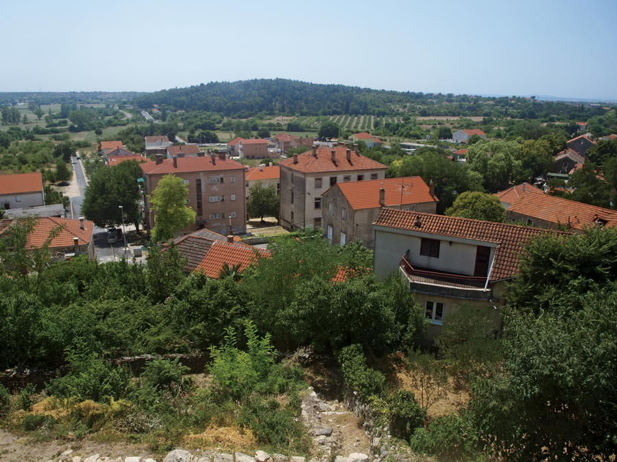
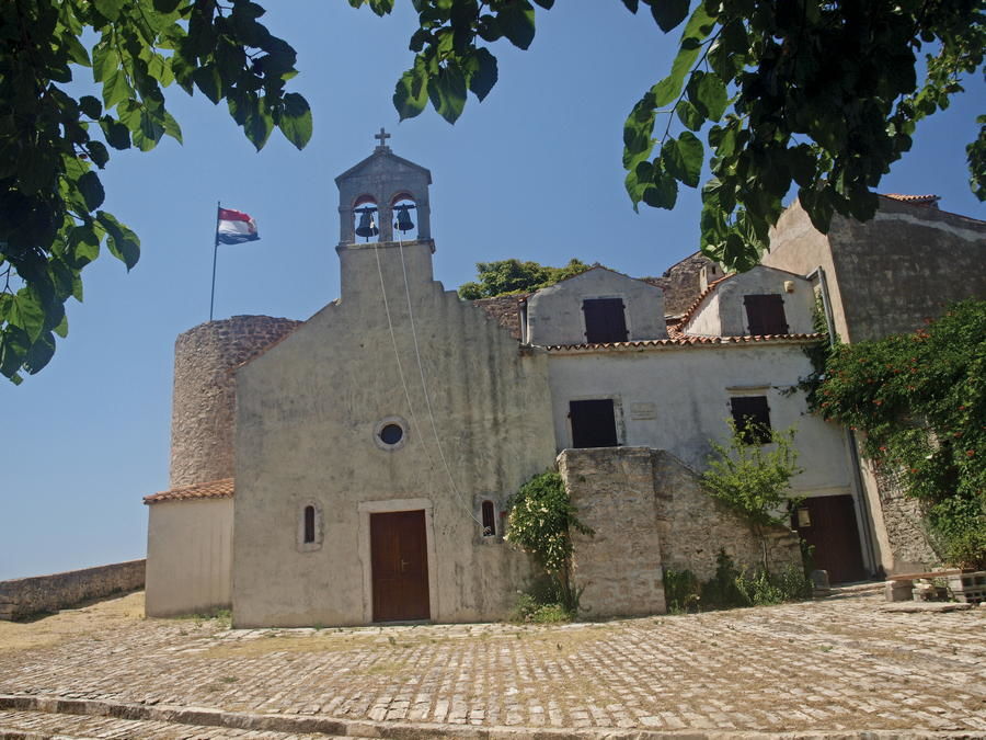
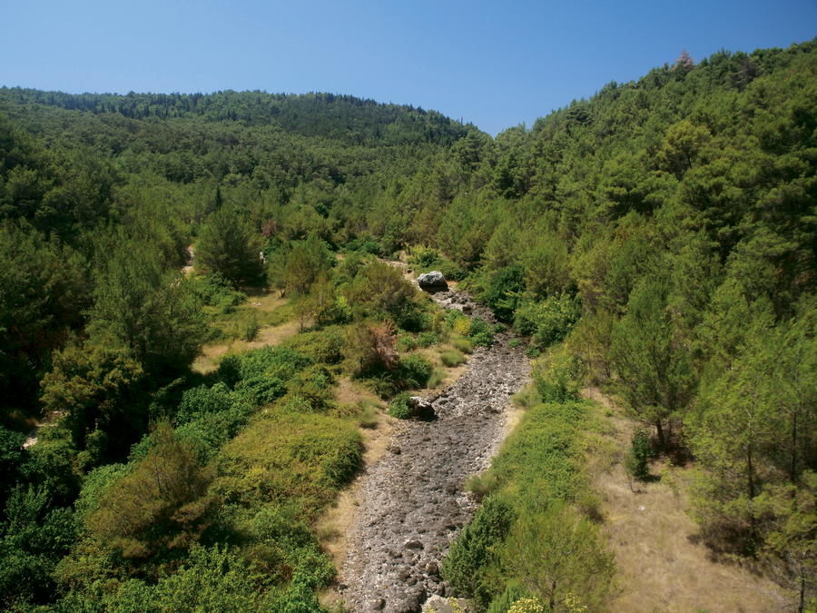
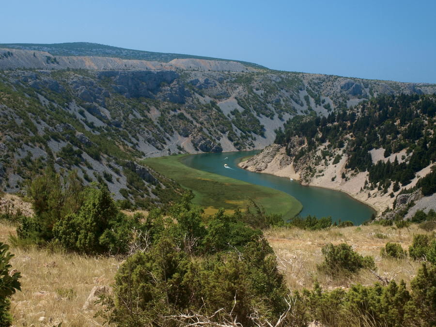
The area of Ravni kotari is a wide plain in central Dalmatia, spanning from Bukovica, Benkovac and Novigradsko more to the northeast, to a thin coastal belt between Zadar and Skradin (estuary of the Krka River) to the southwest; i.e. from the hinterland of Zadar in the west to the hinterland of Skradin in the east. This area is the most fertile part of the littoral Dalmatian region. The administrative center of Ravni kotari is Benkovac as the only settlement in the area with the status of a city, located on the eastern edge of Ravni kotari. The highest point of the area is the peak called Standardac, at 305 meters above sea level. A stone fragment from the year 879 with the inscribed name of Croatian Duke Branimir was found in Šopot, as one of the oldest written monuments of Croatian culture. The stone gable inscription is the oldest document containing the mention of the name Croat.
- Vanskelighet
-
lett
- Evaluering
-
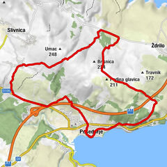
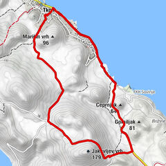
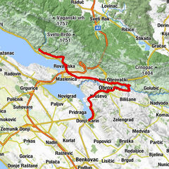
- Rute
-
Donji Karin1,7 kmDubroje2,3 kmBenkovačko Selo12,6 kmPizzeria Pape14,1 kmKonoba NIKO14,3 kmBencovazzo14,8 kmGrill Šopot15,7 kmŠopot15,8 kmŠopot17,2 kmMiranje20,1 km
- Beste sesong
-
jan.feb.marsaprilmaijunijuliaug.sep.okt.nov.des.
- Høyeste punkt
- 265 m
- Reisemål
-
Šopot
- Høydeprofil
-
 © outdooractive.com
-

-
ForfatterTurneen Via Dinarica HR-B-11 Ravni kotari brukes av outdooractive.com forutsatt.