© Terra Dinarica - Ivica Kodžoman
© Terra Dinarica - Alan Čaplar
© Terra Dinarica - Alan Čaplar
© Terra Dinarica - Alan Čaplar
© Terra Dinarica - Alan Čaplar
© Terra Dinarica - Alan Čaplar

© Terra Dinarica - Alan Čaplar
© Terra Dinarica - Alan Čaplar
© Terra Dinarica - Alan Čaplar
© Terra Dinarica - Alan Čaplar

- Kort beskrivelse
-
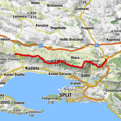
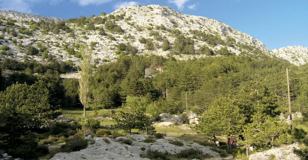
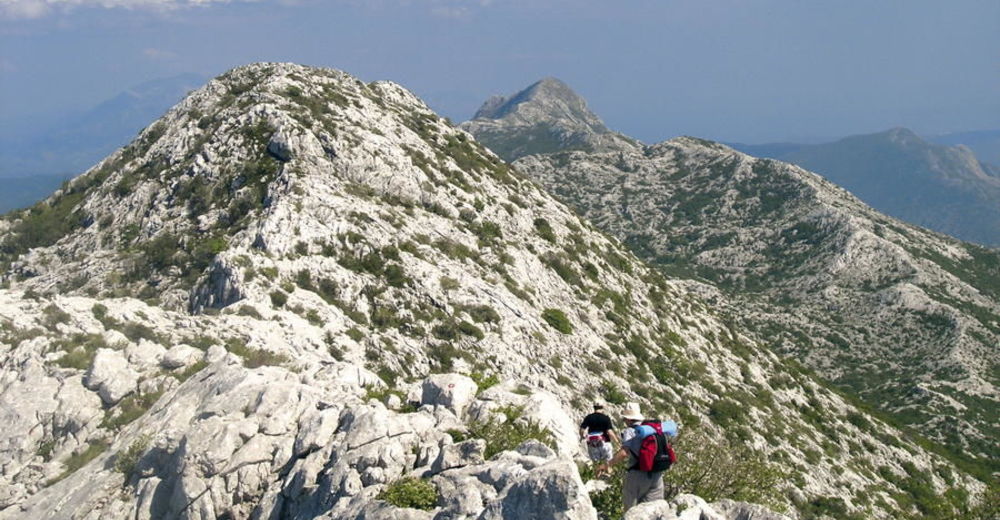
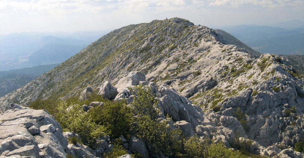
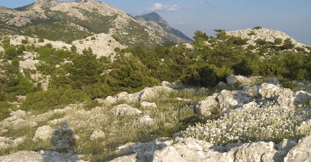
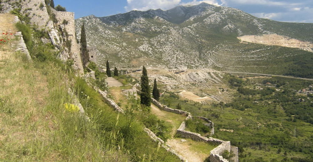
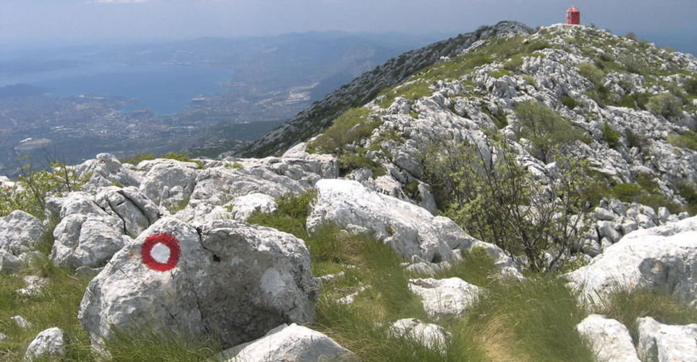
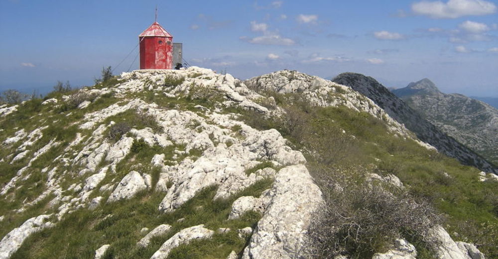
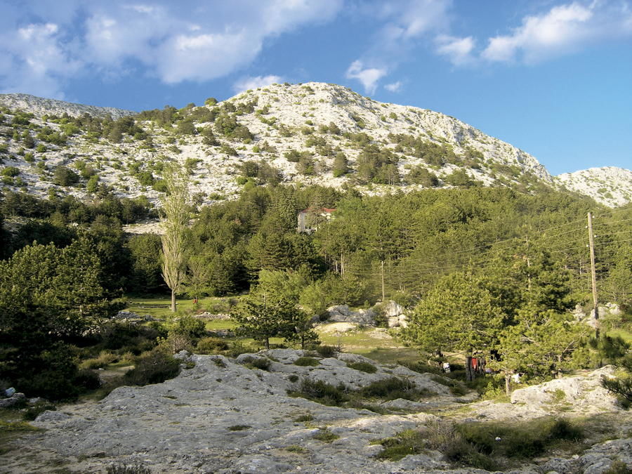
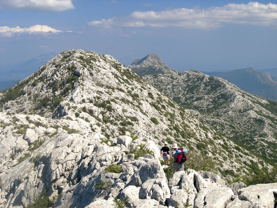
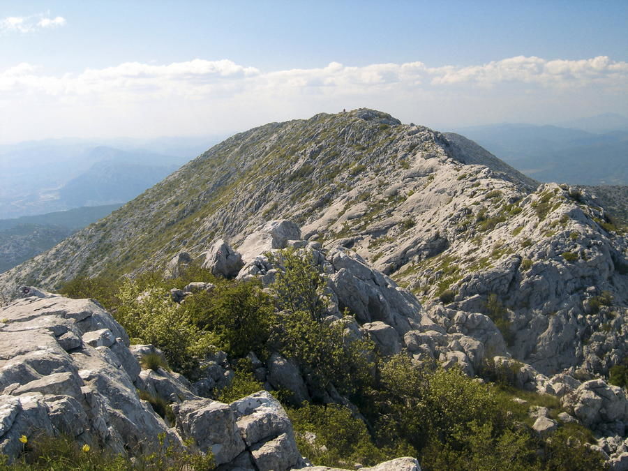
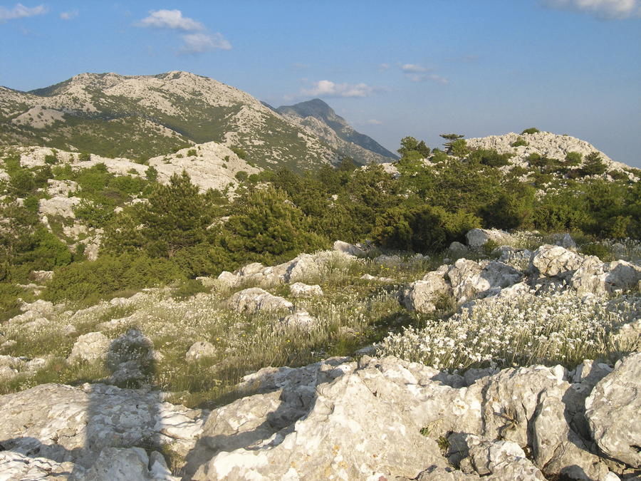
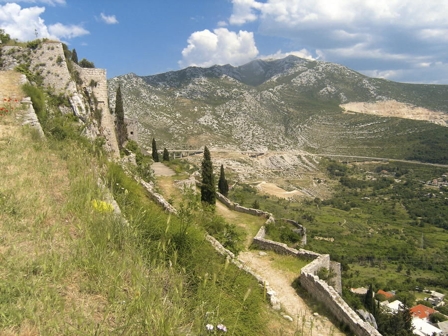
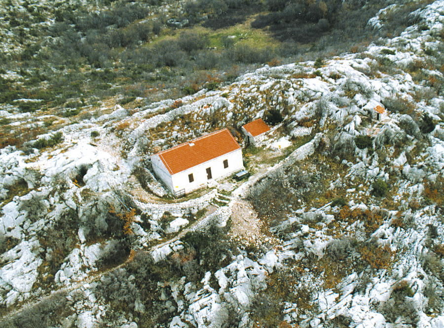
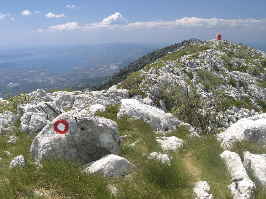
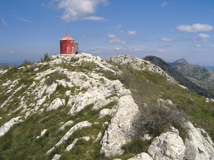
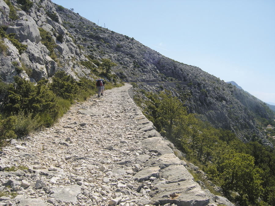
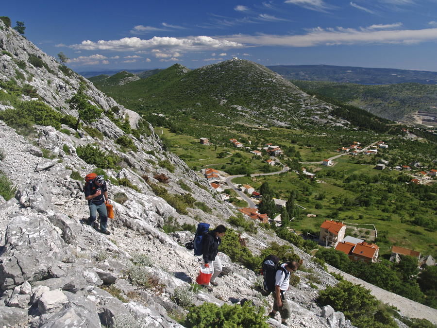
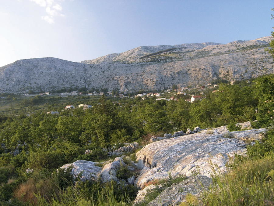
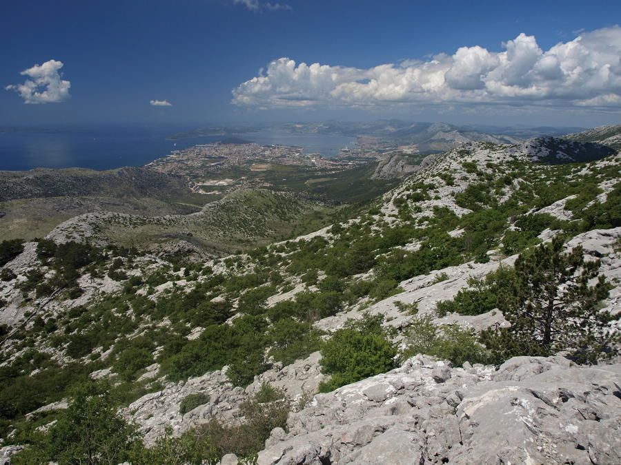
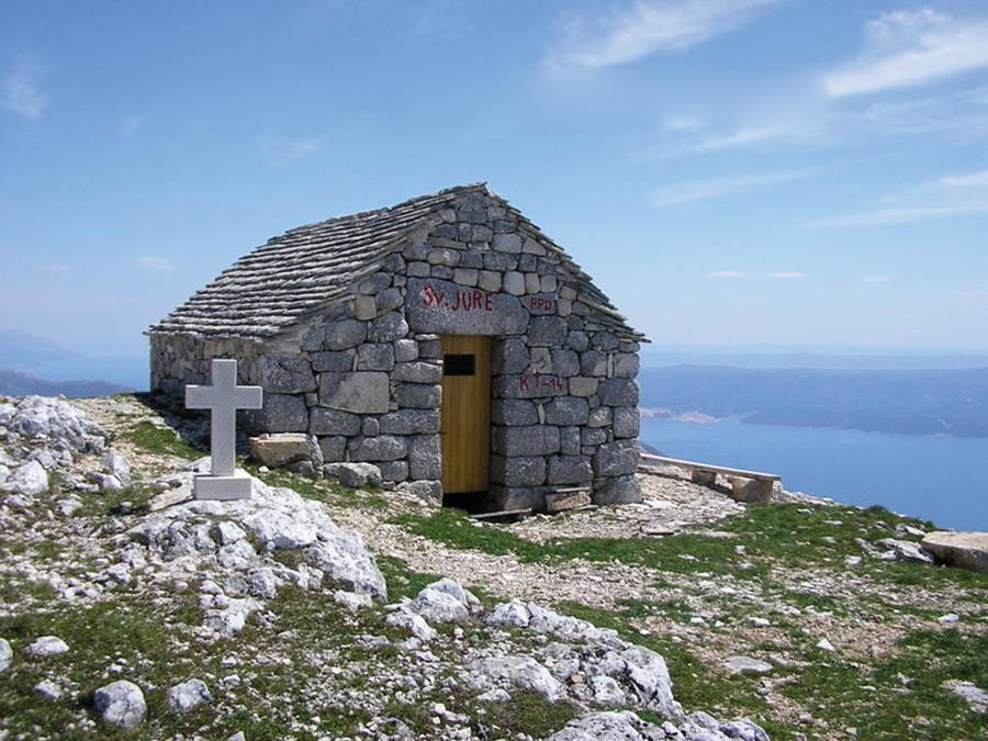
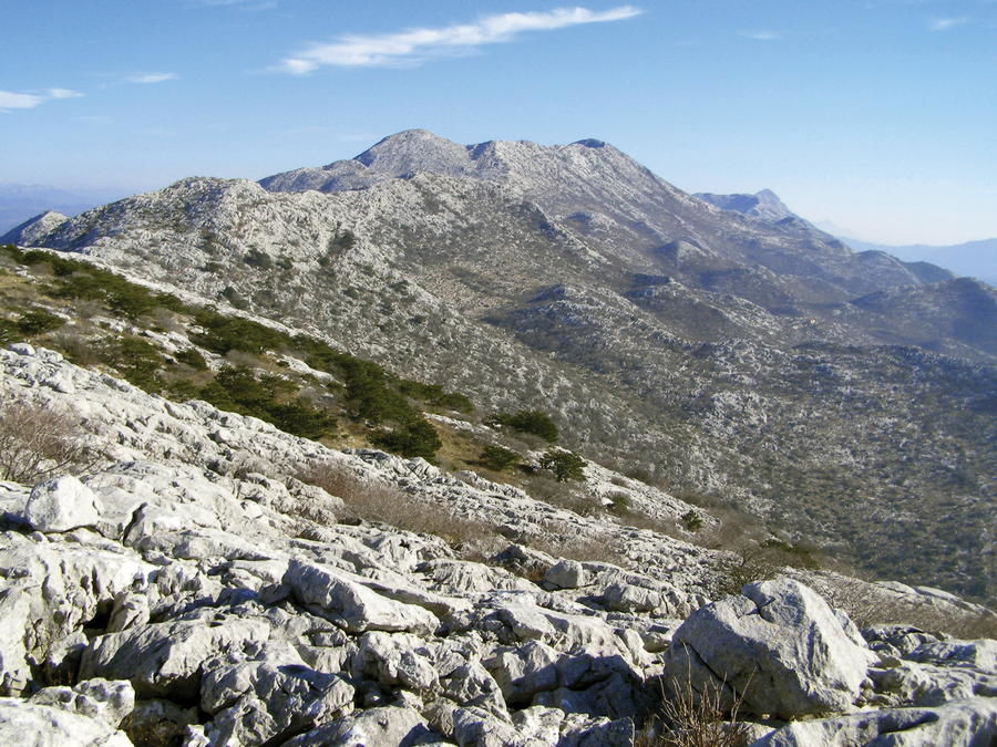
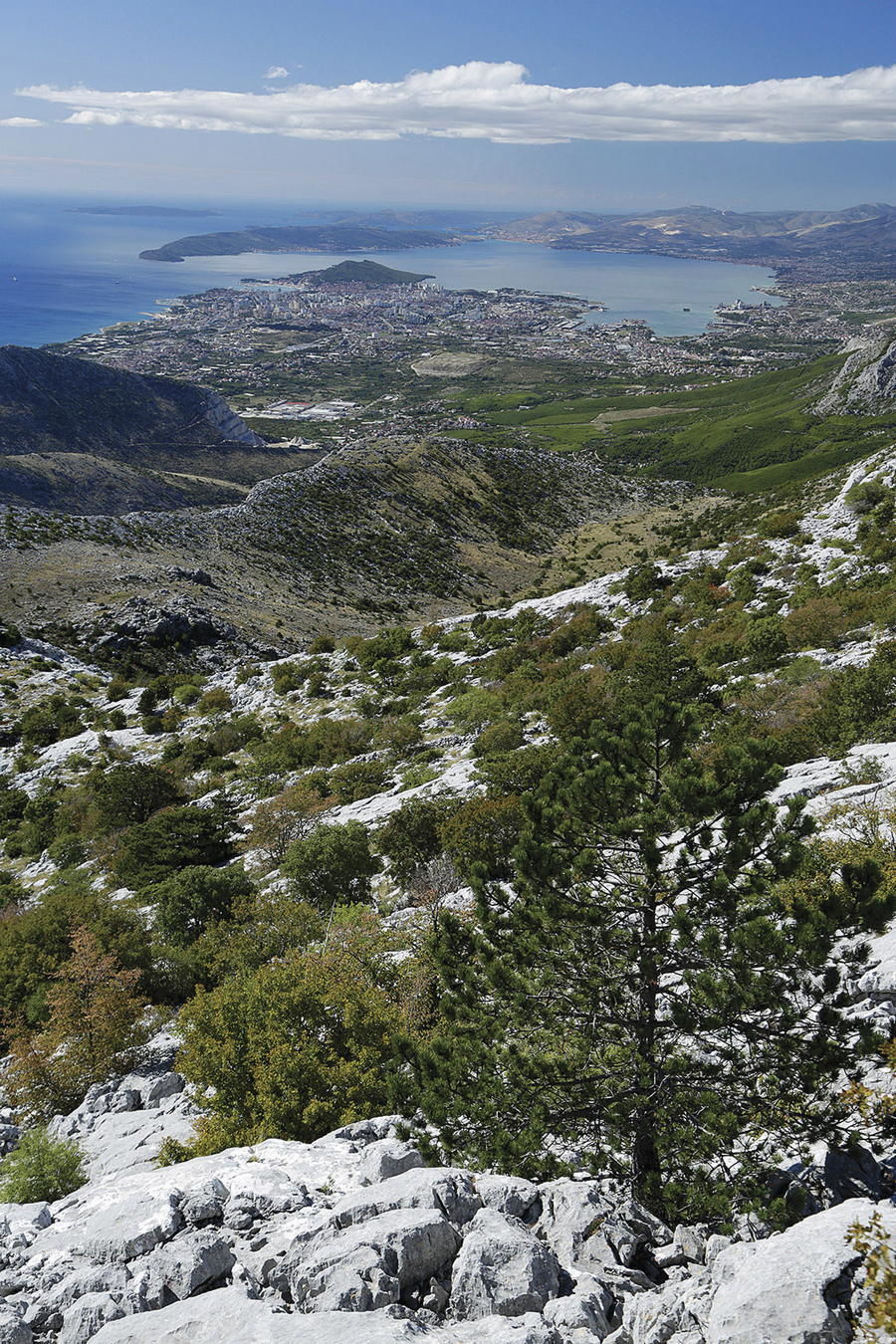
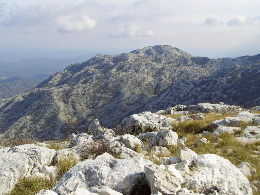
Mosor is a high karst mountain dominating the area between Split and Omiš. This mountain is divided from Kozjak by a deeply cut area of Klis, and it spreads to the Cetina River towards the southeast. The highest peak, called Veliki Kabal, is 1339 meters above sea level, and the entire mountain is 25 kilometers long. The key feature of the area is a pronounced rocky ridge, white and bare in its limestone character, with steep rocky slopes on both sides. The northern slope is characterized by numerous karrens, deep sinkholes and karst pits, while the southern slope abounds in terraced valleys.
- Vanskelighet
-
middels
- Evaluering
-
- Rute
-
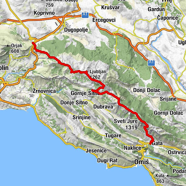
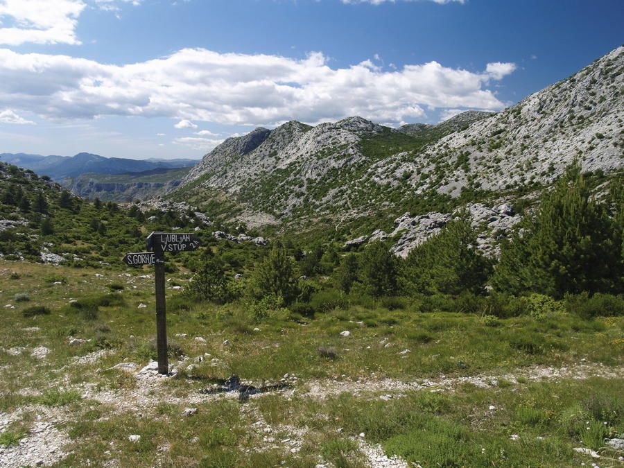
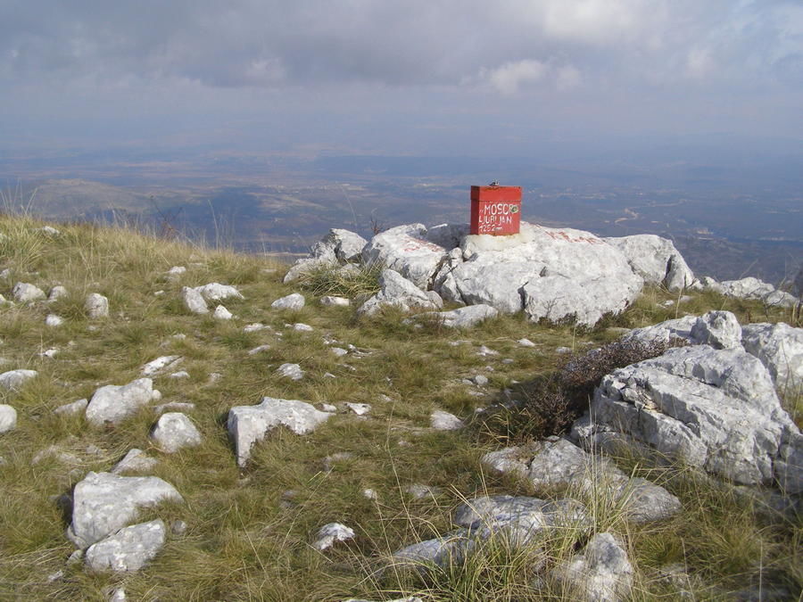
PerlicaHajdukMihovilovići0,5 kmGornja Ozrna1,2 kmMedveđak (861 m)3,6 kmDebelo brdo (1.044 m)4,8 kmLugarnica7,2 kmLjubljan (1.262 m)9,7 kmJavorska (1.270 m)10,6 kmLjubirna (1.330 m)11,8 kmVeliki Kabal (1.339 m)12,9 kmLjuvač14,8 kmBotajna (1.196 m)19,3 kmSedlo (1.176 m)20,2 kmMali Kozjak (1.194 m)21,8 kmPrijevoj Tepla Pola (1.172 m)22,1 kmSveti Jure (1.319 m)23,1 kmSkočibe26,4 kmCrkva Sv Ante26,4 kmPodcelje27,2 kmPodkunjovača27,8 km
- Beste sesong
-
jan.feb.marsaprilmaijunijuliaug.sep.okt.nov.des.
- Høyeste punkt
- 1.311 m
- Reisemål
-
Gata
- Høydeprofil
-
 © outdooractive.com
-

-
ForfatterTurneen Via Dinarica HR-B-16 Mosor brukes av outdooractive.com forutsatt.