
- Kort beskrivelse
-
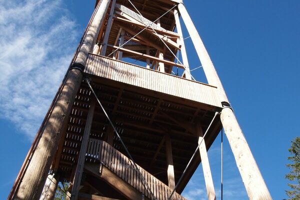
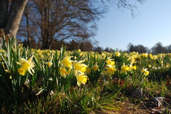
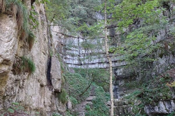
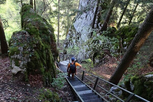
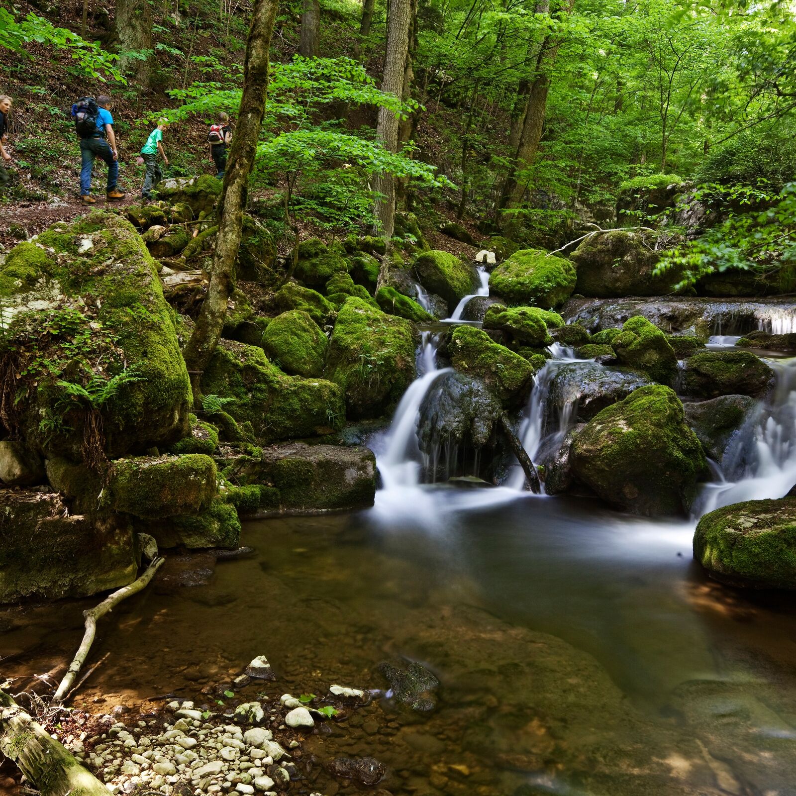
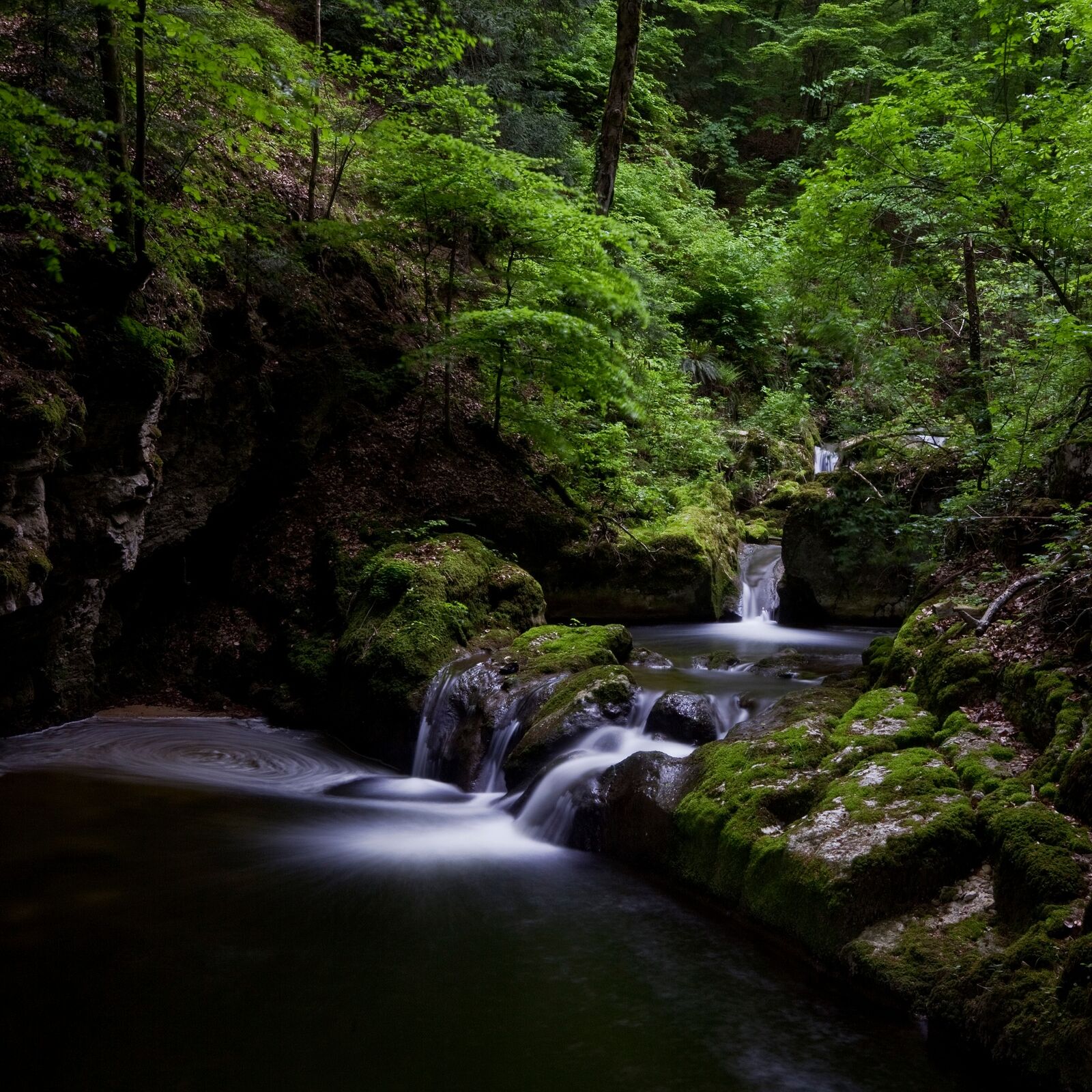
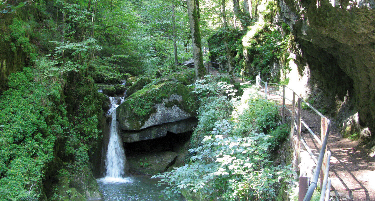
This is a popular, scenic hike across the forested back of the chain of lakes. The descent is through the cool Twann river gorge to the shores of Lake Biel (Take care in wet weather: slippery stone slabs!). Along the way, you will encounter the administration facilities of the Swiss Federal Office of Sport and the Twannberg Holiday Village Foundation building, both of which blend harmoniously into the landscape. Minimal hard-surfaced areas outside of townships.
- Vanskelighet
-
lett
- Evaluering
-
- Rute
-
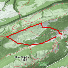
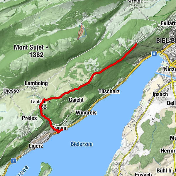
Magglingen (875 m)Biel/Bienne (434 m)Bellavista0,2 kmTwannberg5,6 kmTäätsch (862 m)6,4 kmLes Moulins6,9 kmGlas-Atelier7,0 kmKänzeli9,3 kmTwann (434 m)9,7 kmTwann (434 m)9,8 km
- Beste sesong
-
jan.feb.marsaprilmaijunijuliaug.sep.okt.nov.des.
- Høyeste punkt
- 976 m
- Reisemål
-
Twann
- Høydeprofil
-
 © outdooractive.com
-

-
ForfatterTurneen Twann river gorge (Twannbachschlucht) brukes av outdooractive.com forutsatt.
GPS Downloads


Generell info
Forfriskningsstopp
Kulturell/Historisk
Innsidertips
Lovende
Flere turer i regionene
-
Biel Seeland
782
-
Bielersee / Twann - Ligerz - Tüscherz
336
-
Twann
118