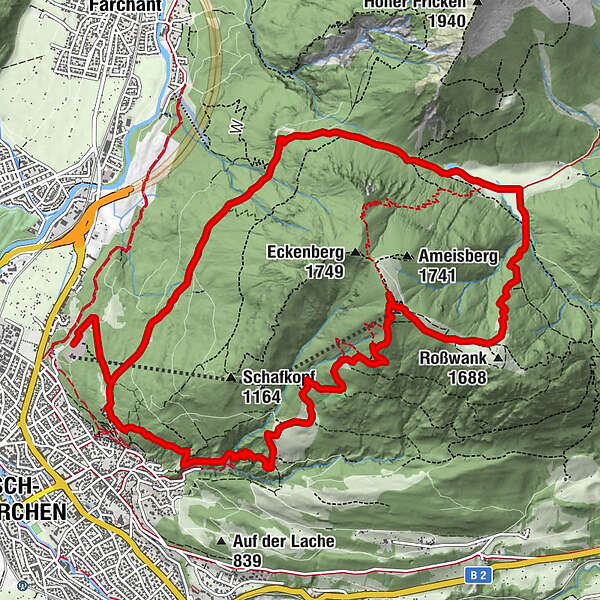
Via St. Anton, Tannenhütte and Eckenhütte to the Wank

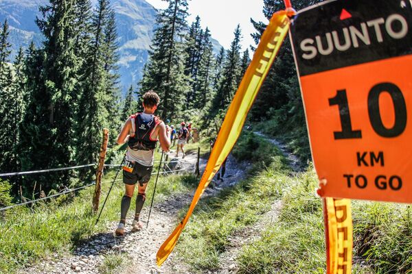
Trailrunning

© GaPa Tourismus GmbH - Annika Hack

© GaPa Tourismus GmbH - Annika Hack

© GaPa Tourismus GmbH - Annika Hack

© GaPa Tourismus GmbH - Annika Hack

© GaPa Tourismus GmbH - Annika Hack

© GaPa Tourismus GmbH - Annika Hack

© GaPa Tourismus GmbH - Annika Hack

- Kort beskrivelse
-
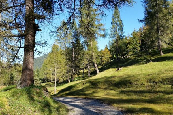
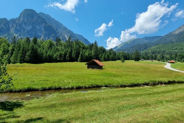
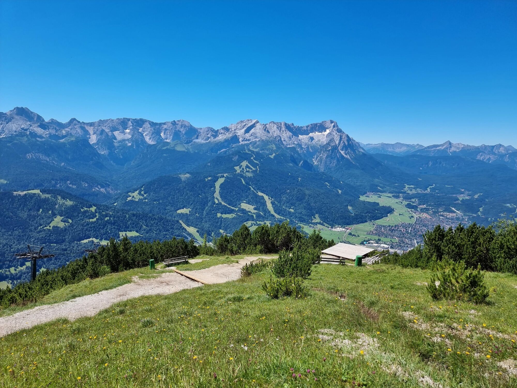
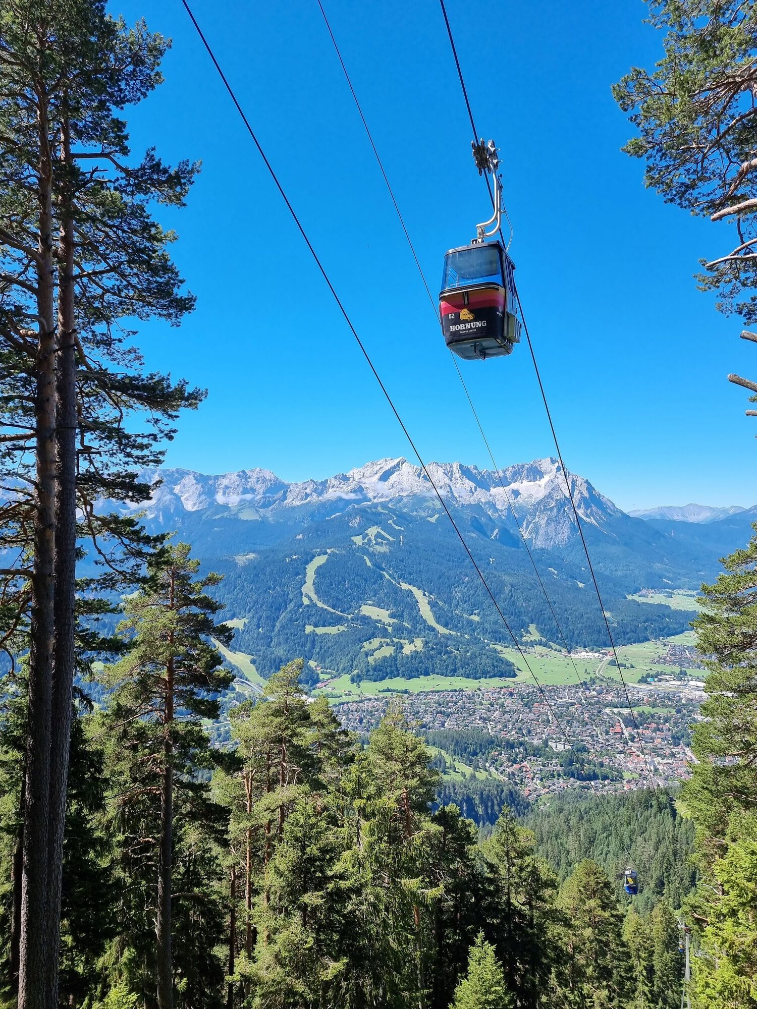
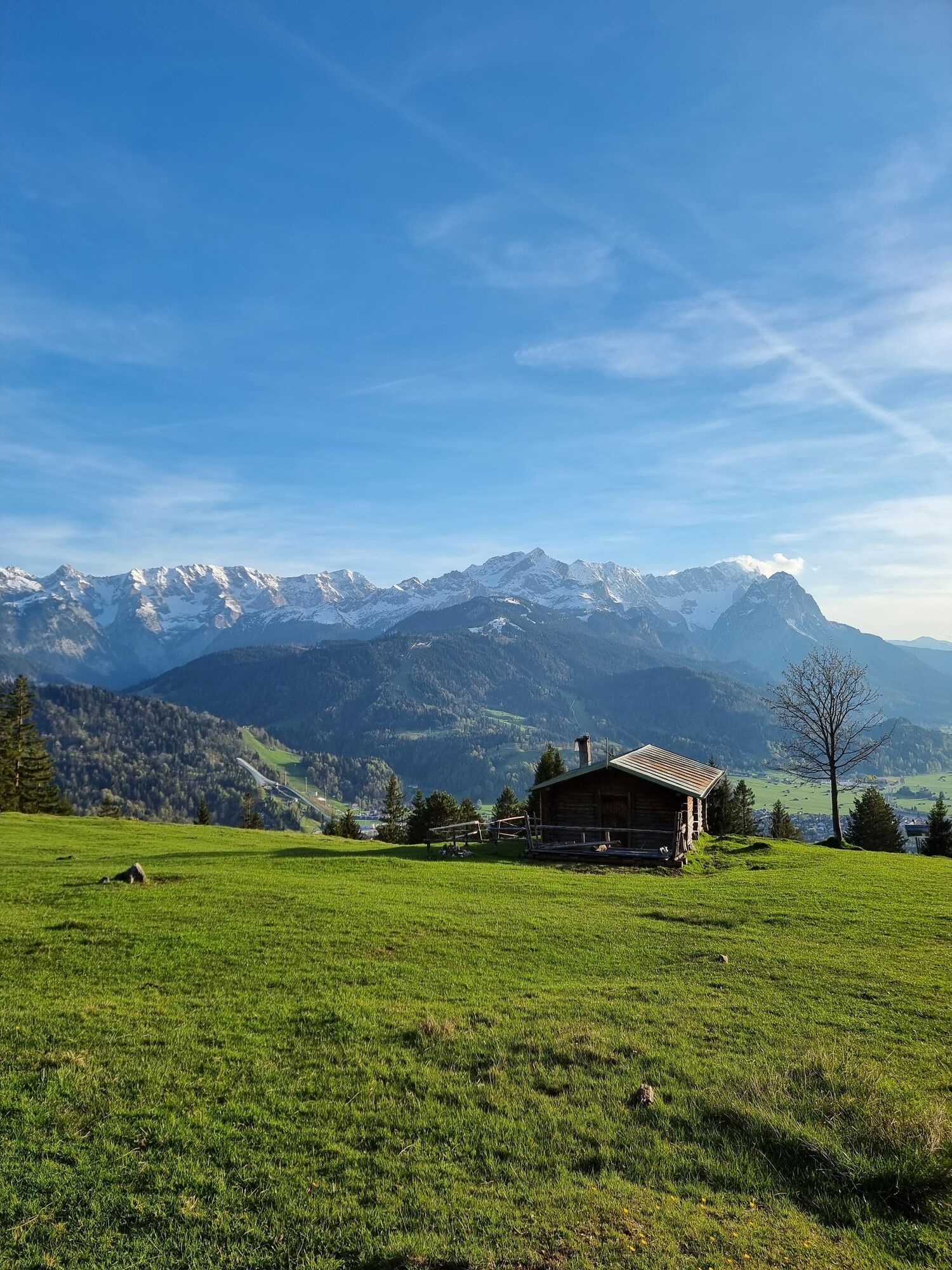
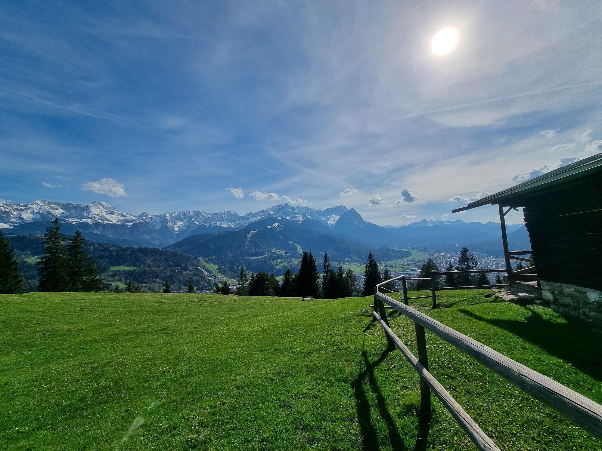
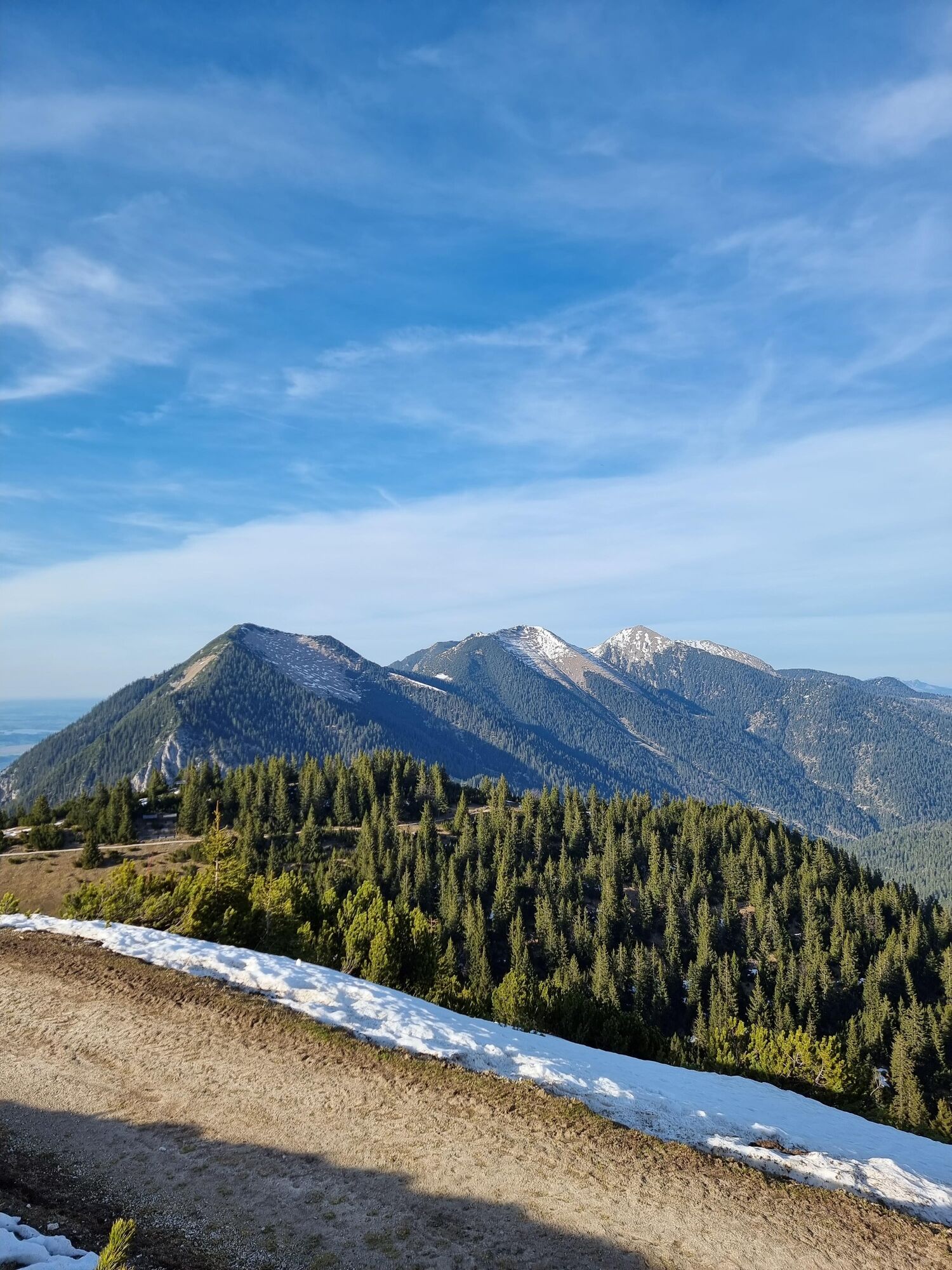
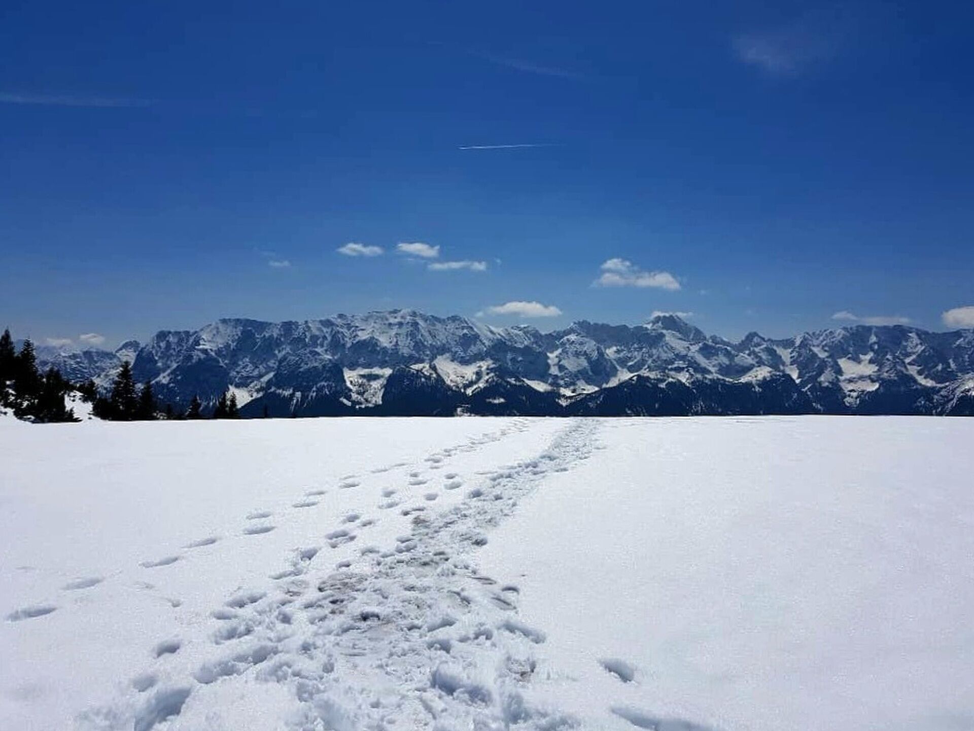
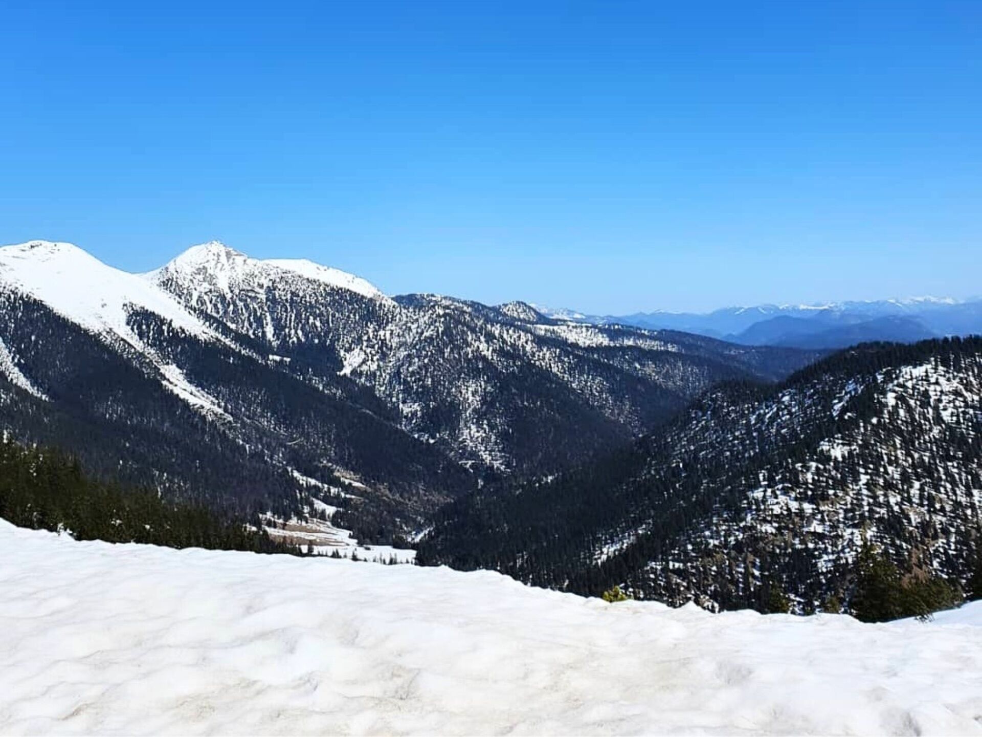
This tour takes you through the relict pine forest above Partenkirchen, with a fantastic view of the valley, the Waxensteine, Wetterstein and Zugspitze massifs.
- Vanskelighet
-
vanskelig
- Evaluering
-
- Rute
-
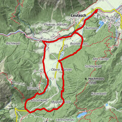
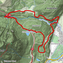
Garmisch-Partenkirchen (708 m)1,3 kmSt. Anton Panorama1,3 kmTannenhütte3,5 kmNaturkino7,0 kmSelbstversorger7,1 kmWank-Haus7,1 kmWank (1.780 m)7,1 kmJausenstation Sonnenalm (1.765 m)7,3 kmEsterbergalm10,1 kmDaxkapelle (964 m)13,9 kmGarmisch-Partenkirchen (708 m)15,2 km
- Beste sesong
-
jan.feb.marsaprilmaijunijuliaug.sep.okt.nov.des.
- Høyeste punkt
- 1.767 m
- Reisemål
-
Wankbahn valley station
- Høydeprofil
-
 © outdooractive.com
- Forfatter
-
Turneen Via St. Anton, Tannenhütte and Eckenhütte to the Wank brukes av outdooractive.com forutsatt.
GPS Downloads


Generell info
Lovende
Flere turer i regionene
-
ZugspitzLand
39
-
Farchant
23