© Studio-Mir

© La Drôme Tourisme - L. Pascale

© La Drôme Tourisme - L. Pascale

© La Drôme Tourisme - L. Pascale

© La Drôme Tourisme - L. Pascale

© La Drôme Tourisme - L. Pascale

© La Drôme Tourisme - L. Pascale

© La Drôme Tourisme - L. Pascale

© La Drôme Tourisme - L. Pascale

© La Drôme Tourisme - L. Pascale

- Kort beskrivelse
-
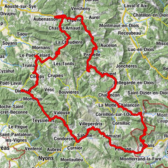
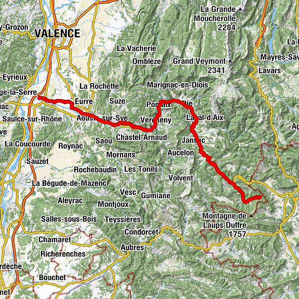
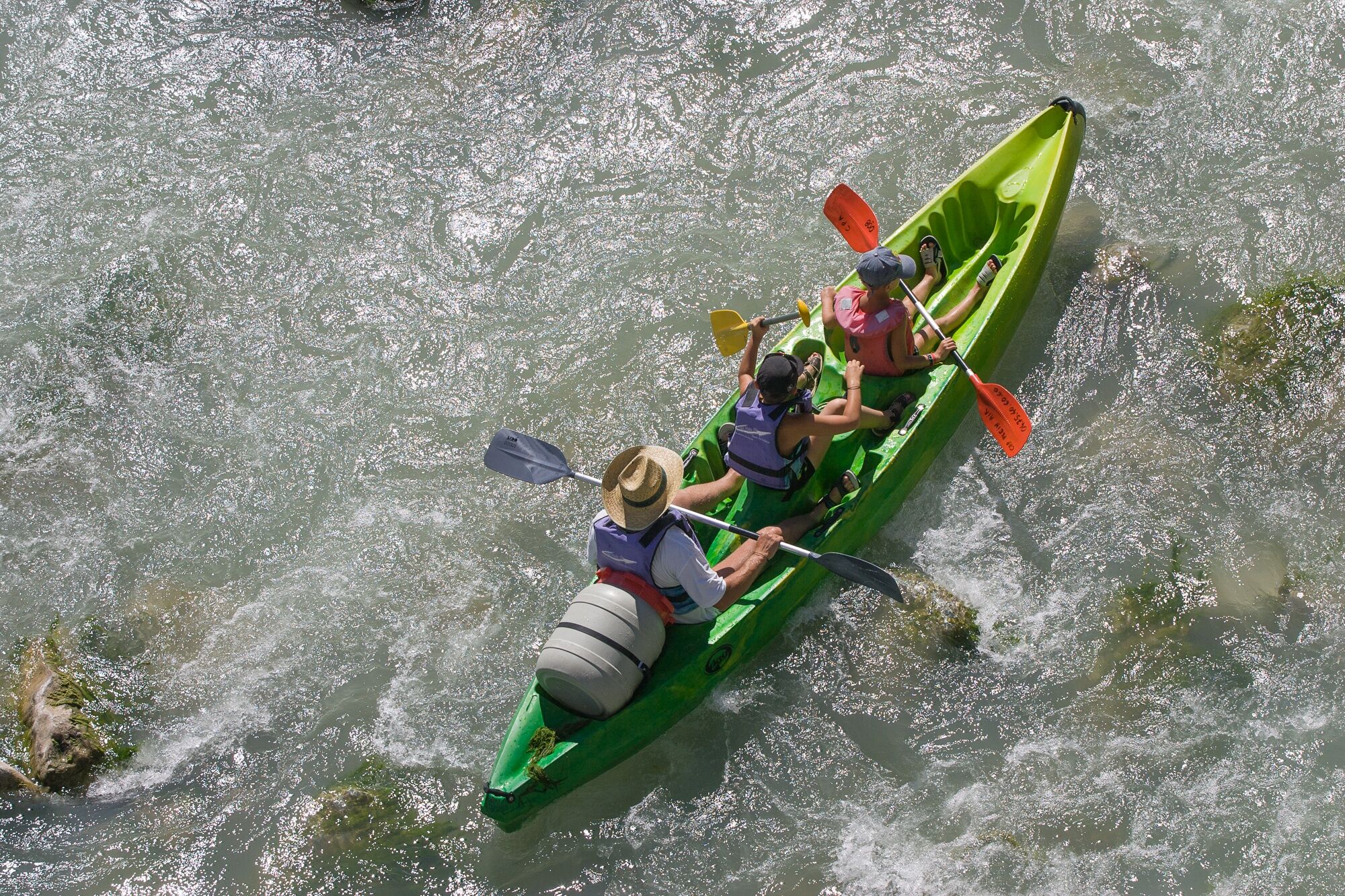
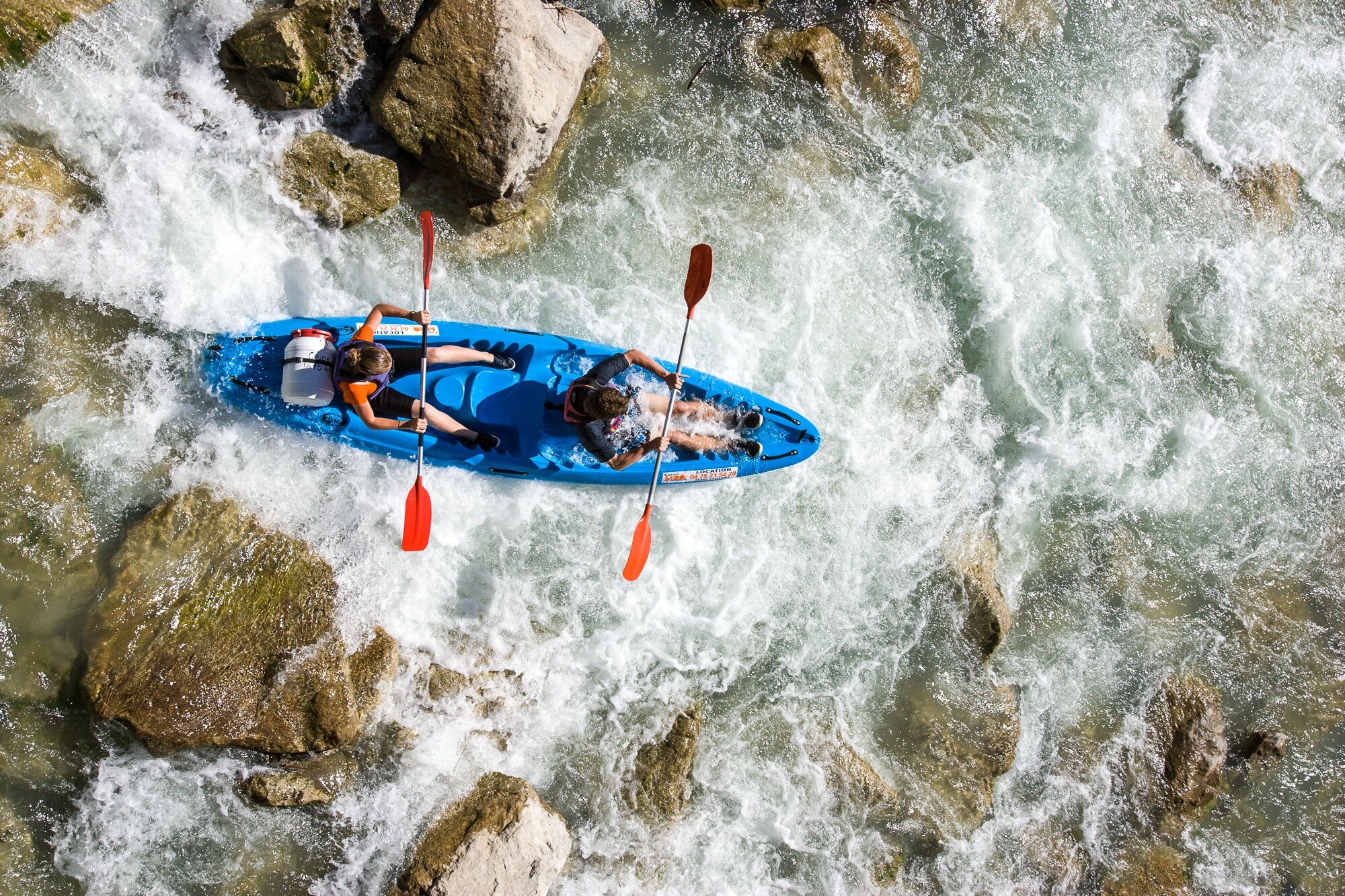
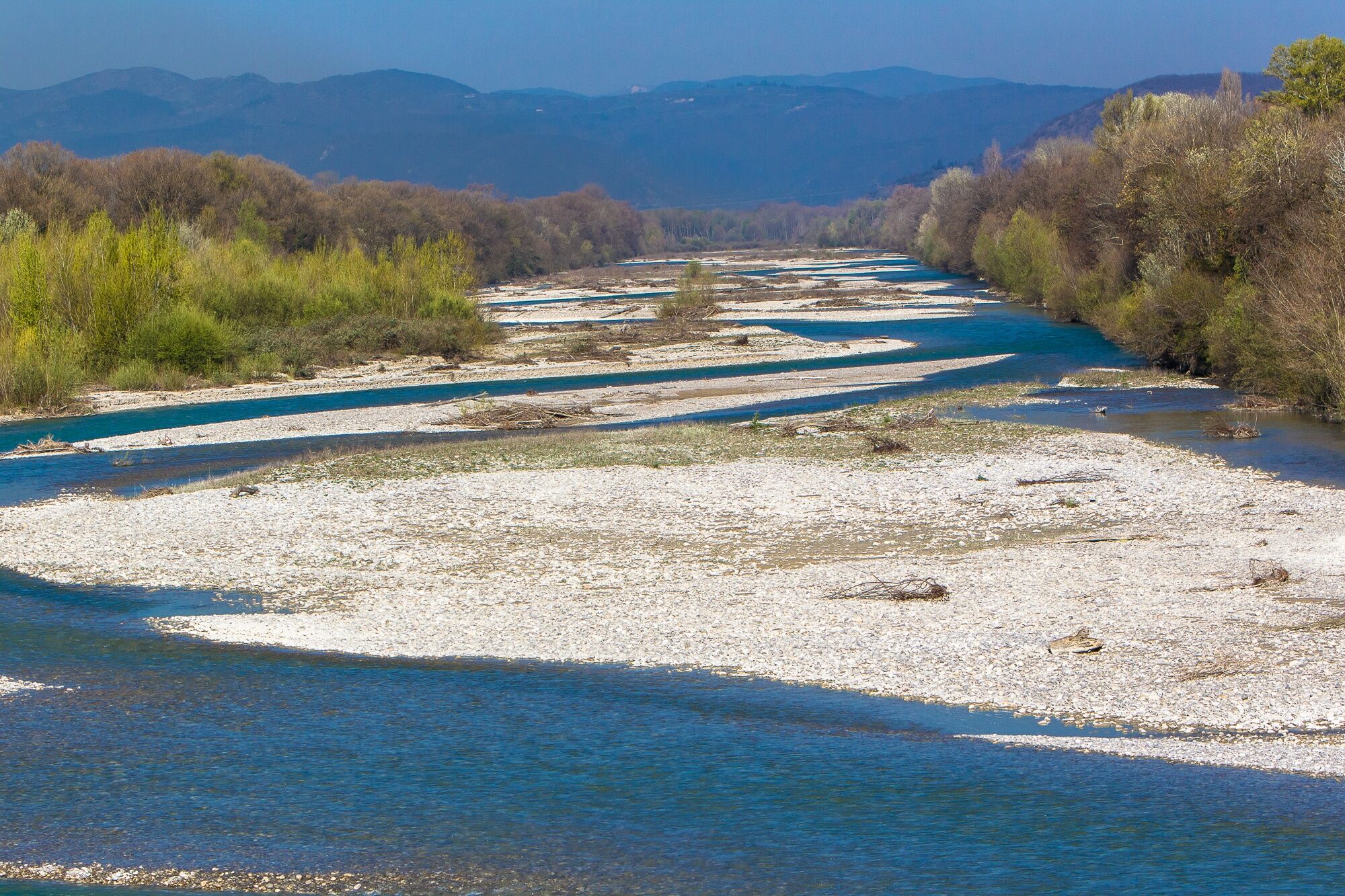
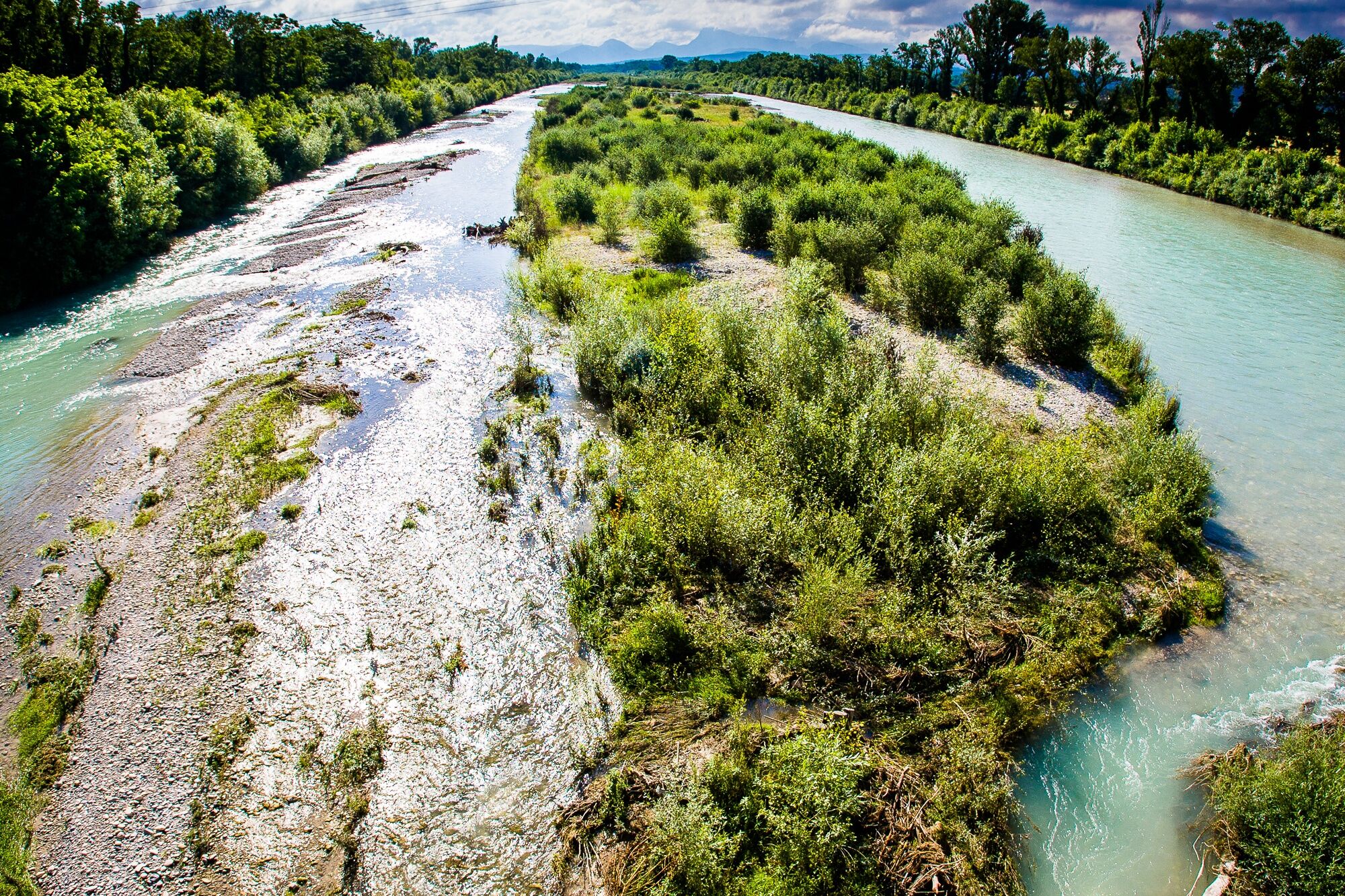
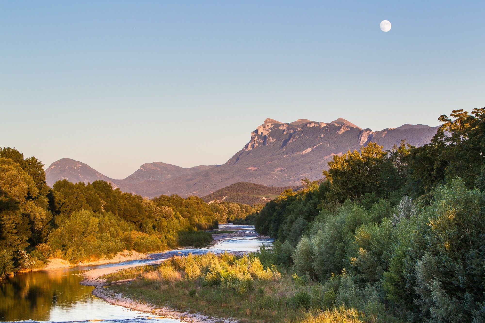
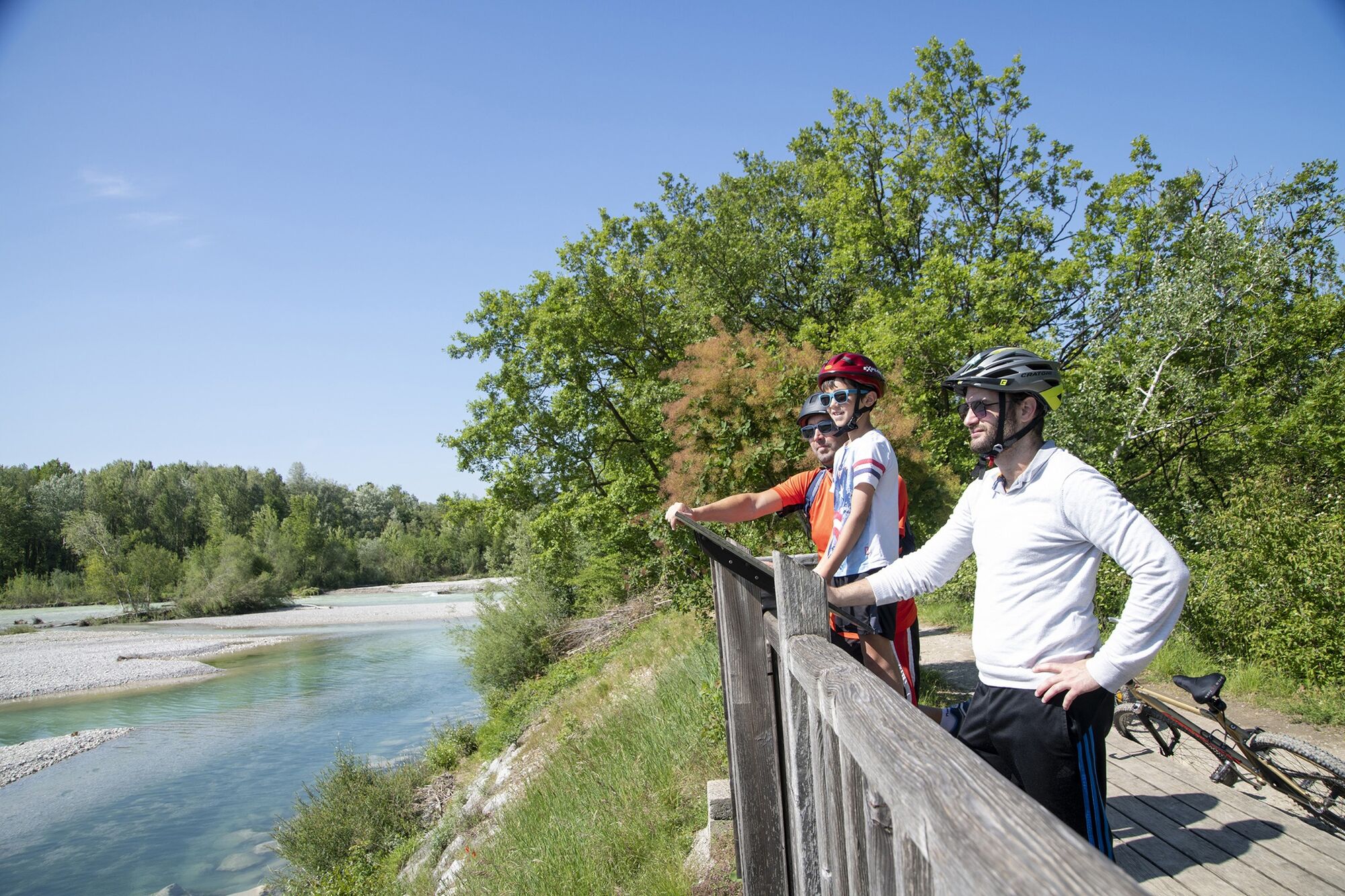
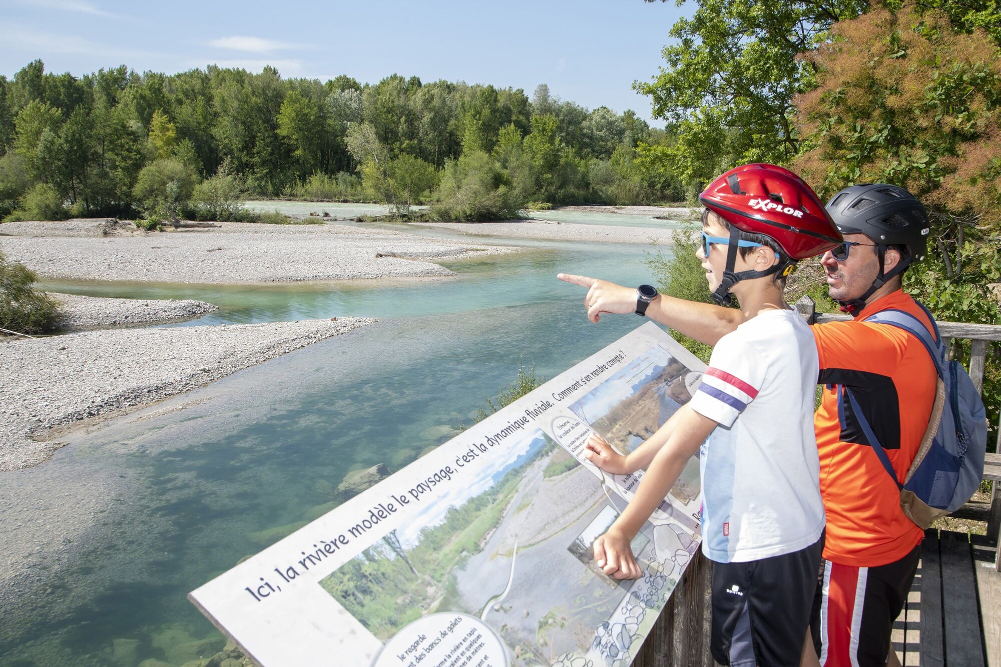
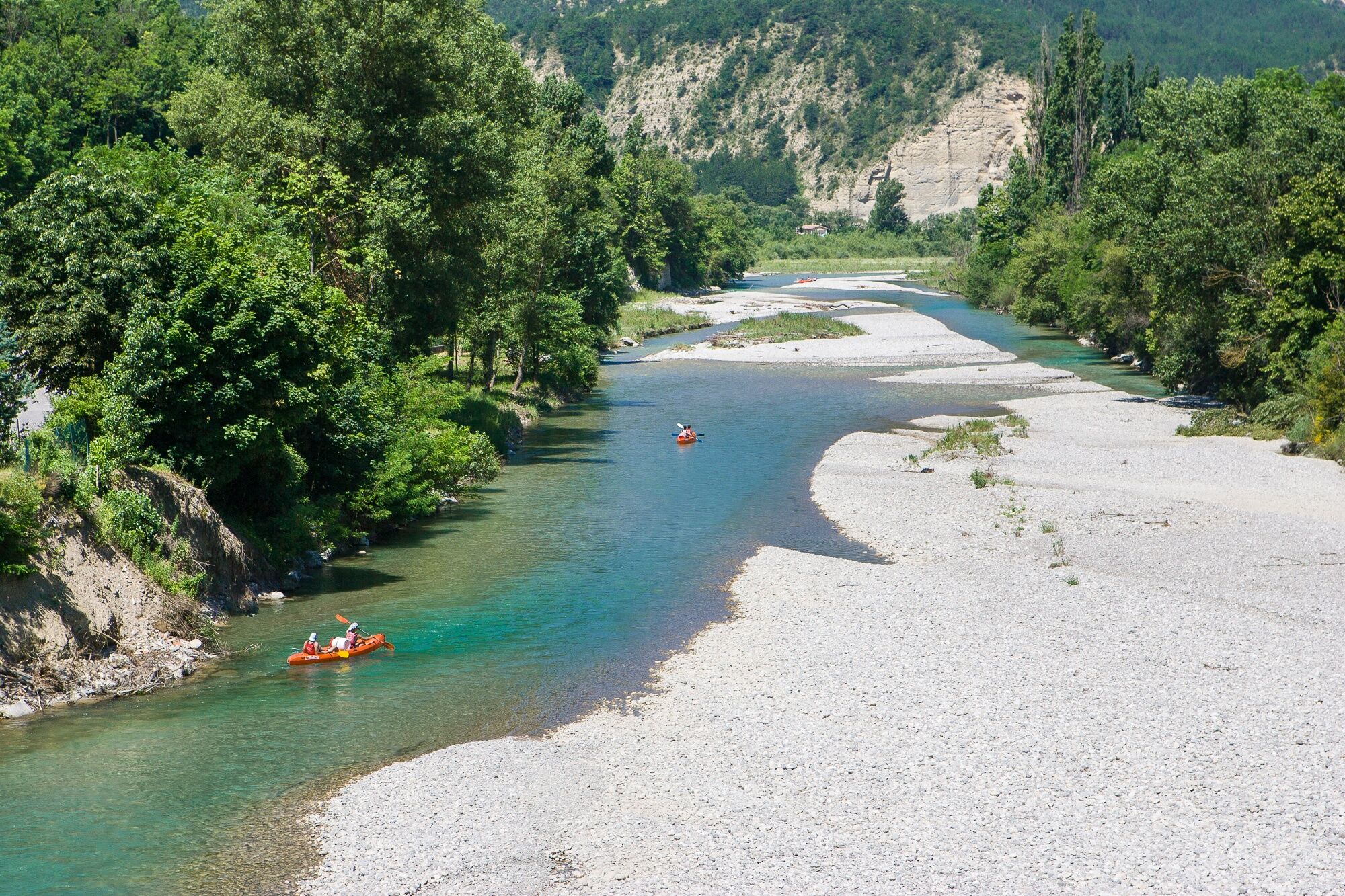
This cycle route follows the small paths and local roads of the lower Drôme valley, one of the last wild rivers in Europe. It is directly connected to the ViaRhôna cycle route via a pedestrian bridge open to cyclists.
- Vanskelighet
-
middels
- Evaluering
-
- Rute
-
Livron-sur-Drôme1,6 kmAllex7,9 kmLa Bocca8,1 kmSanctuaire St Joseph8,2 kml'Auberge d'Allex8,2 kmBrésil8,3 kmÉglise Saint-Maurice8,3 kmCrest19,9 kmAouste-sur-Sye23,1 kmMirabel-et-Blacons26,1 kmPiégros-la-Clastre26,9 kmSerre Miron31,4 kmSaillans36,9 kmSnack du pont37,2 kmAuberge du Pont d'Espenel40,5 kmVercheny43,7 kmLe Temple44,1 kmPontaix49,8 kmTemple50,0 kmÉglise Saint-Martin50,0 kmSainte-Croix52,7 kmSaint-Auban55,4 kmDie61,0 kmMolières-Glandaz65,9 kmÉglise de l'Immaculée-Conception68,1 kmLa Salle69,0 kmRecoubeau75,9 kmLa Bâtie79,2 kmPeyrol81,8 kmMontlaur-en-Diois81,9 kmLes Gabeliers82,2 kmLes Galandons82,4 kmLes Horts84,4 kmLuc-en-Diois84,8 kmPlace de la Fontaine84,8 kmLe Petit Lac88,1 kmLe Relais de Beaumont92,0 kmLes Rousses103,5 kmValdrôme104,0 kmLe Bourg104,2 kmLa Valette106,6 kmLa Bâtie-des-Fonds110,0 km
- Beste sesong
-
jan.feb.marsaprilmaijunijuliaug.sep.okt.nov.des.
- Høyeste punkt
- 1.053 m
- Reisemål
-
La Bâtie-des-Fonds
- Høydeprofil
-
 © outdooractive.com
- Forfatter
-
Turneen Vélodrôme cycle route brukes av outdooractive.com forutsatt.
GPS Downloads


Generell info
Forfriskningsstopp
Kulturell/Historisk
Flora
Lovende
Flere turer i regionene