
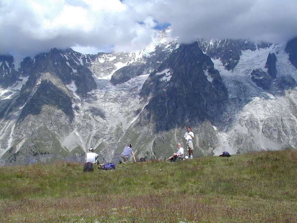
© Alpinehikers - Troy Haines

- Kort beskrivelse
-
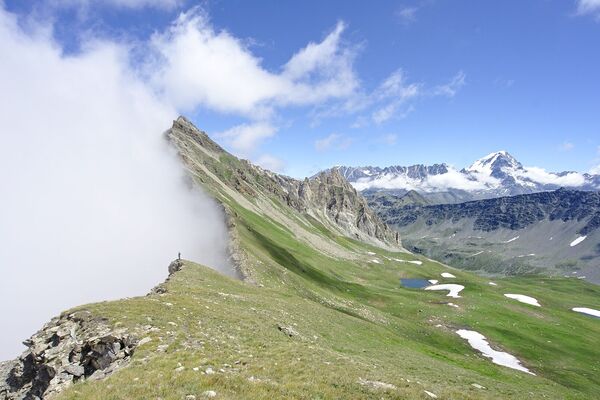
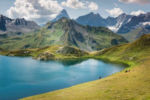
This is a long, strenuous detour from the normal route to Bonatti, with a descent that is steep at times, but the views on a clear day are not to be missed.
- Vanskelighet
-
vanskelig
- Evaluering
-
- Rute
-
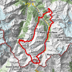
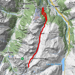
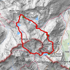
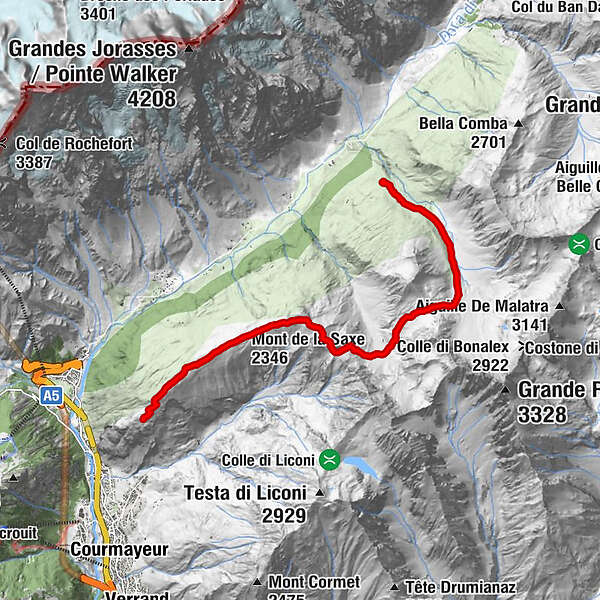
Rifugio Bertone (nuovo)0,1 kmMont de la Saxe (2.346 m)2,4 kmTête de la Tronche (2.584 m)4,2 kmGiué Damon9,5 kmMalatrà Inferiore10,3 kmRifugio Walter Bonatti10,5 km
- Beste sesong
-
jan.feb.marsaprilmaijunijuliaug.sep.okt.nov.des.
- Høyeste punkt
- 2.549 m
- Reisemål
-
rifugio Bonatti
- Høydeprofil
-
 © outdooractive.com
-

-
ForfatterTurneen Bertone to Bonatti via Mont de la Saxe brukes av outdooractive.com forutsatt.
GPS Downloads


Flere turer i regionene
-
Unterwallis
1196
-
Mont Blanc
300
-
Courmayeur und Mont Blanc Tal
50