© Alpenregion Bludenz Tourismus GmbH - Melanie Fleisch

© Alpenregion Bludenz Tourismus GmbH - Melanie Fleisch

© Alpenregion Bludenz Tourismus GmbH - Melanie Fleisch

© Alpenregion Bludenz Tourismus GmbH - Melanie Fleisch

© Alpenregion Bludenz Tourismus GmbH - Melanie Fleisch

© Alpenregion Bludenz Tourismus GmbH - Melanie Fleisch

© Alpenregion Bludenz Tourismus GmbH - Melanie Fleisch

© Alpenregion Bludenz Tourismus GmbH - Melanie Fleisch

© Vorarlberg Tourismus GmbH
- Kort beskrivelse
-
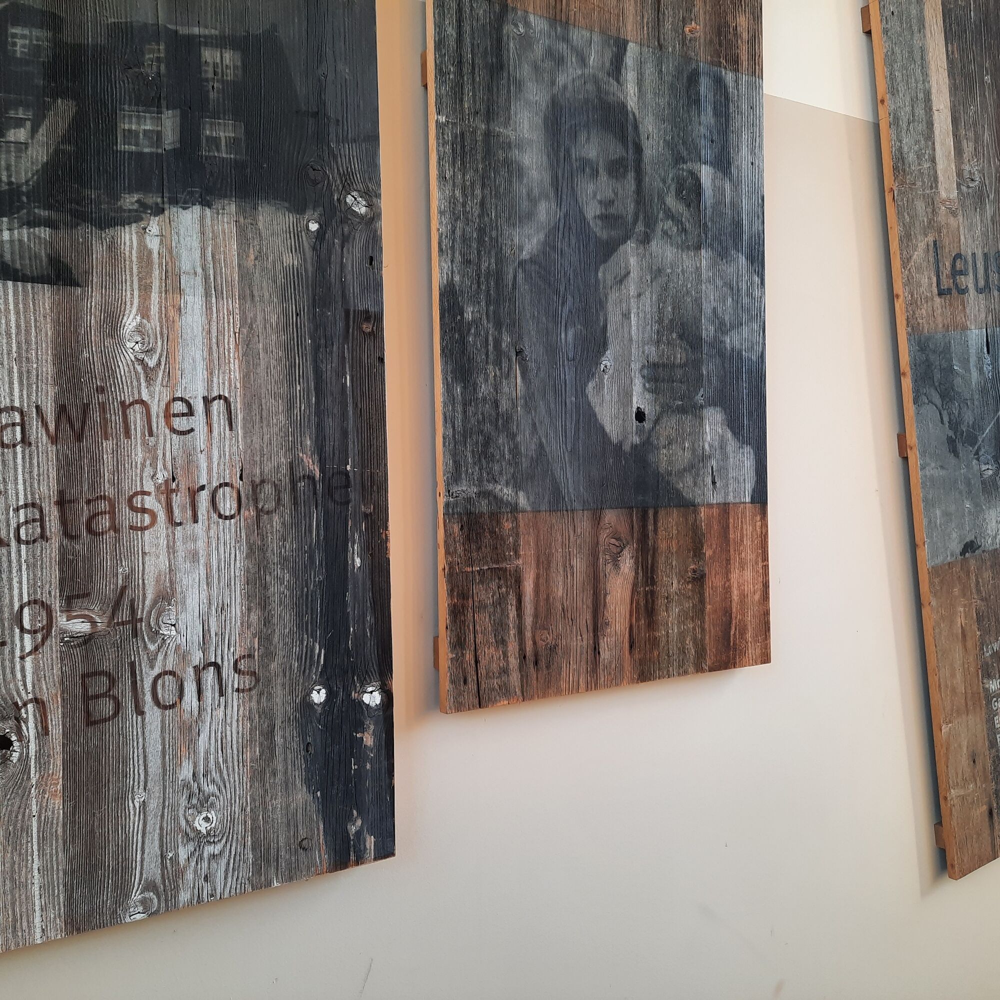
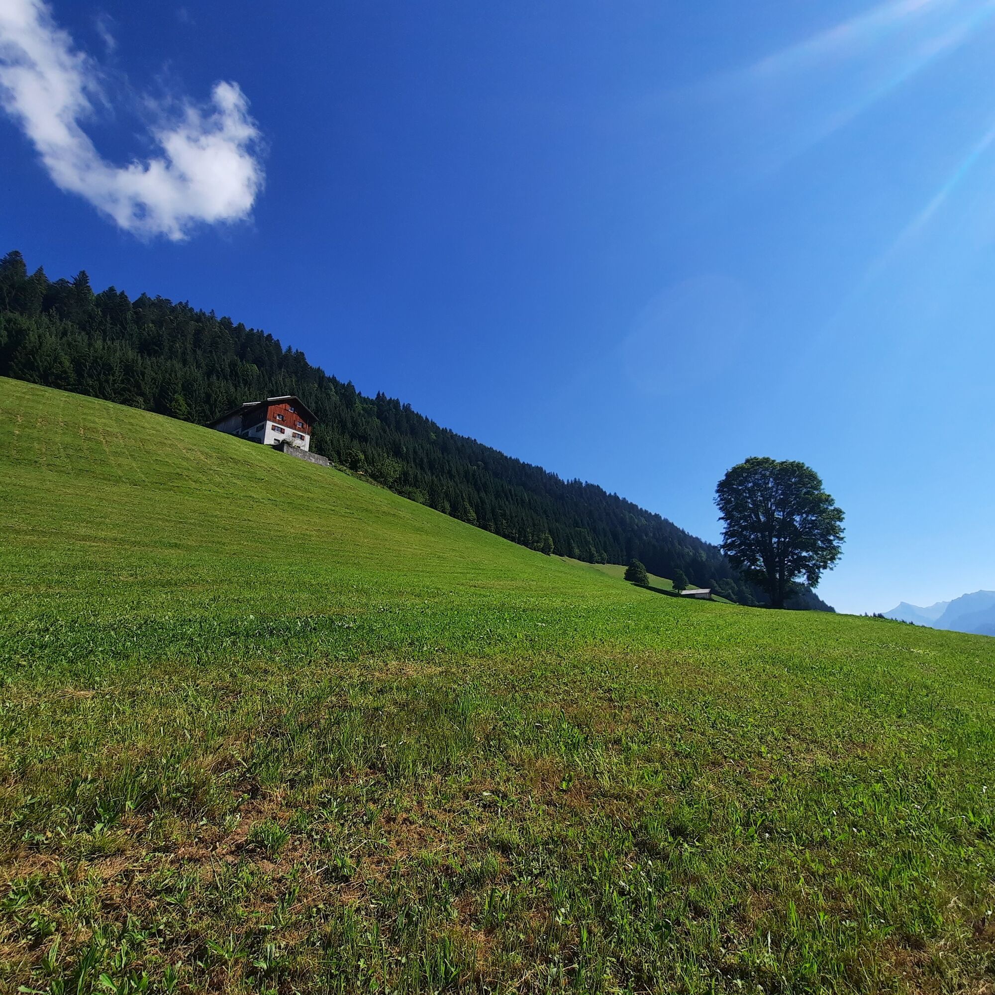
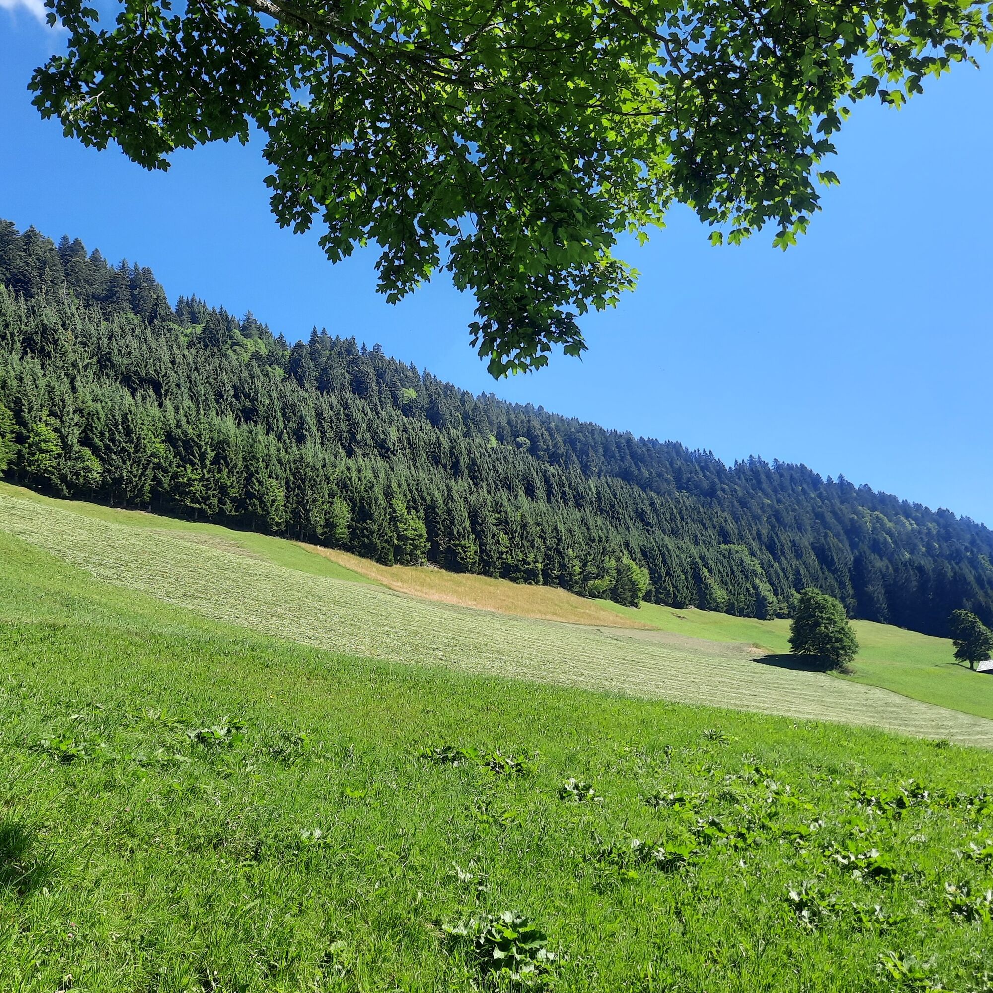
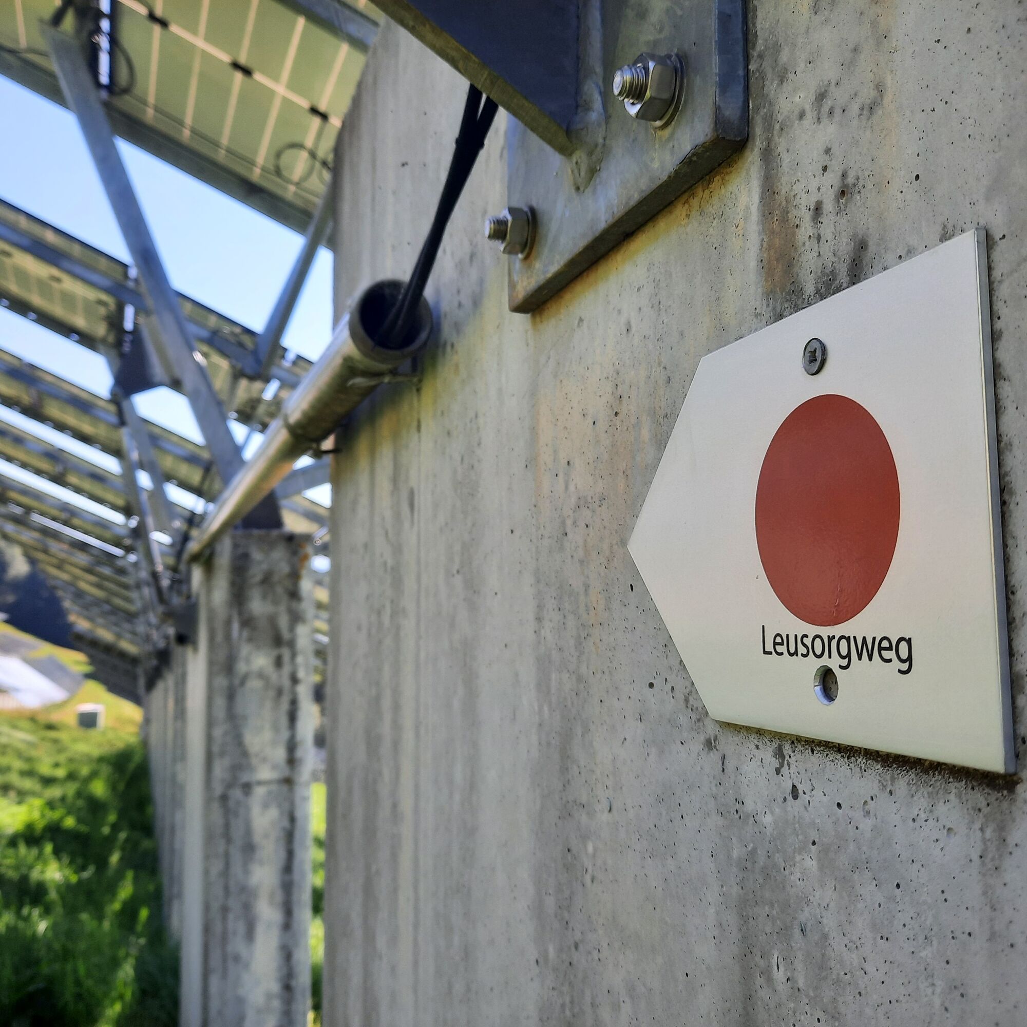
The Leusorgweg, two other avalanche paths (Schutzwald- & Verbauungsweg) and an avalanche documentation center with video and image material today commemorate the avalanche disaster of 1954.
- Vanskelighet
-
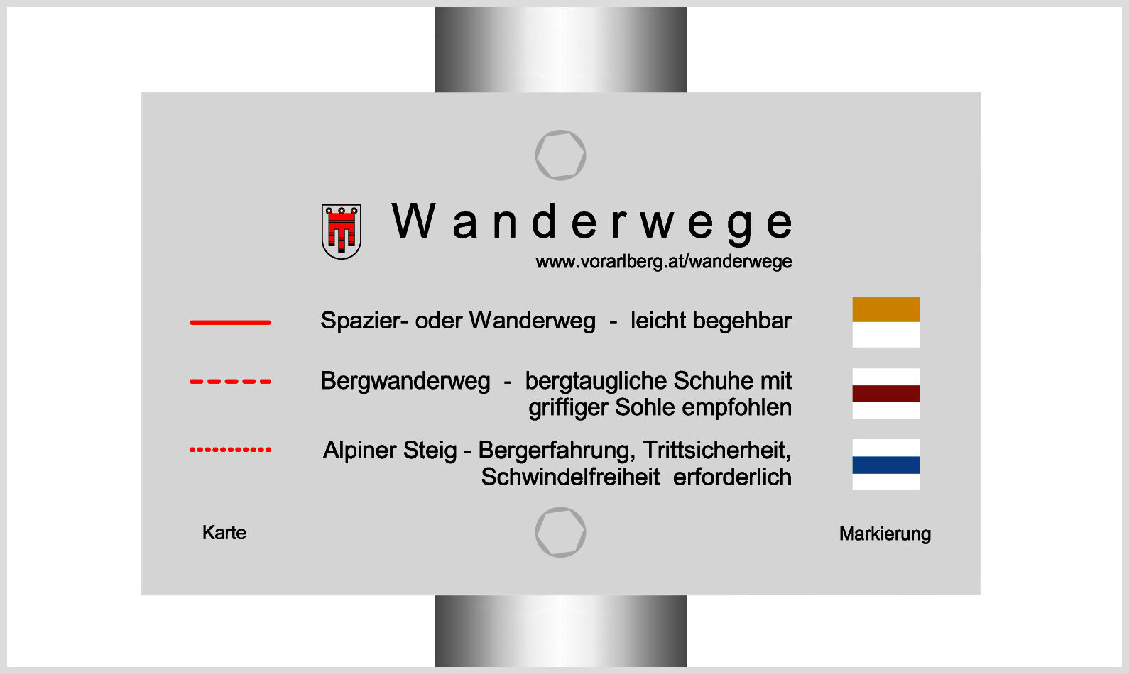
middels
- Evaluering
-
- Rute
-
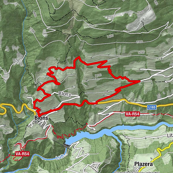
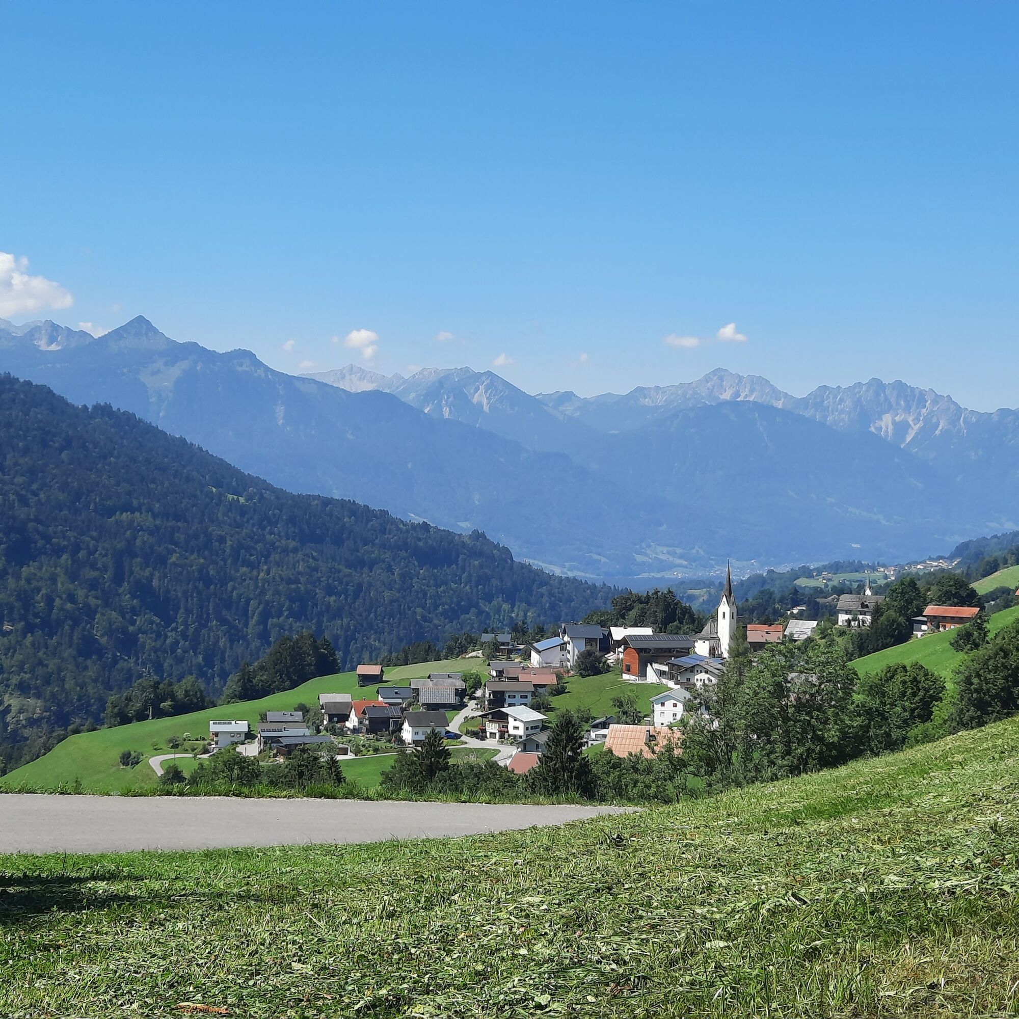
FalvaPfarrkirche St. Mariä EmpfängnisAdler5,6 kmFalva5,7 kmPfarrkirche St. Mariä Empfängnis5,7 kmBlons5,8 km
- Beste sesong
-
jan.feb.marsaprilmaijunijuliaug.sep.okt.nov.des.
- Høyeste punkt
- 1.179 m
- Reisemål
-
Community Center, Blons
- Høydeprofil
-

- Forfatter
-
Turneen Leusorgweg | Blons brukes av outdooractive.com forutsatt.
GPS Downloads


Generell info
Kulturell/Historisk
Lovende
Flere turer i regionene
-
St. Gallen - Bodensee
2066
-
Biosphärenpark Großes Walsertal
2010
-
Blons
462