© Oststeiermark Tourismus - Tourismusverband Oststeiermark
- Kort beskrivelse
-
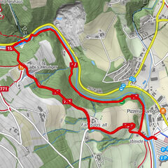
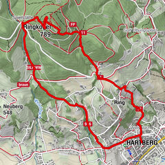
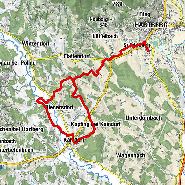
From Hartberg via the pilgrims' path and the Marterlweg back to the Hochstraße and back to Hartberg. Past numerous wayside shrines and wayside crosses with a length of 25 km and an altitude difference of 500 metres.
- Vanskelighet
-
middels
- Evaluering
-
- Rute
-
Wallfahrtskirche Maria LebingSpielplatz des Gasthofes Pack0,0 kmHartberg0,5 kmSchildbach1,0 kmMitterdombach4,4 kmHaselberg6,9 kmSankt Stefan9,7 kmDreihöf10,6 kmPfarrkirche hl. Jakobus der Ältere13,3 kmKaindorf13,5 kmKopfing bei Kaindorf15,3 kmHochstraße16,3 kmAltenberg17,1 kmKaag18,4 kmMitterdombach20,8 kmSchildbach23,9 kmHartberg24,6 kmSpielplatz des Gasthofes Pack25,1 kmWallfahrtskirche Maria Lebing25,1 km
- Beste sesong
-
jan.feb.marsaprilmaijunijuliaug.sep.okt.nov.des.
- Høyeste punkt
- 411 m
- Reisemål
-
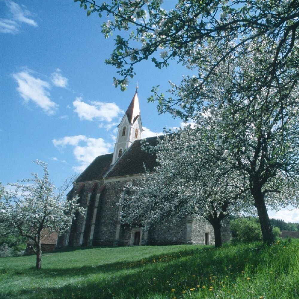
Hartberg, Lebing
- Høydeprofil
-

- Forfatter
-
Turneen Hartberg Kaindorf Hartberg via Marterlweg brukes av outdooractive.com forutsatt.
GPS Downloads


Generell info
Forfriskningsstopp
Kulturell/Historisk
Lovende
Flere turer i regionene
-
Thermen- & Vulkanland
1324
-
Hartbergerland
826
-
Kaindorf
276