© Erlebnisregion Schladming-Dachstein - Schladming Dachstein
© Gerhard Pilz
© Gerhard Pilz
© Gerhard Pilz
© Tourismusverband Schladming - Gerhard Pilz
© Gerhard Pilz

© Gerhard Pilz
© Gerhard Pilz
© Gerhard Pilz
© Gerhard Pilz
- Kort beskrivelse
-
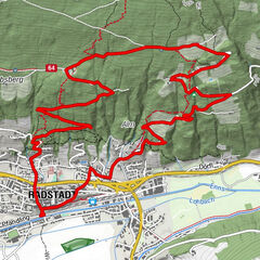
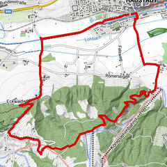
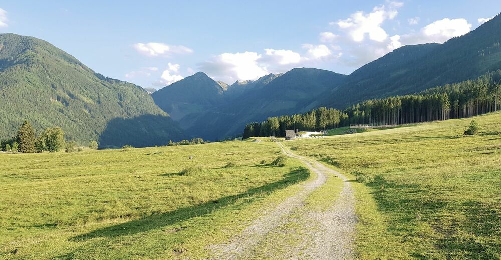
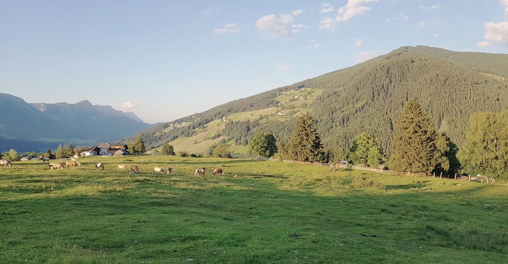
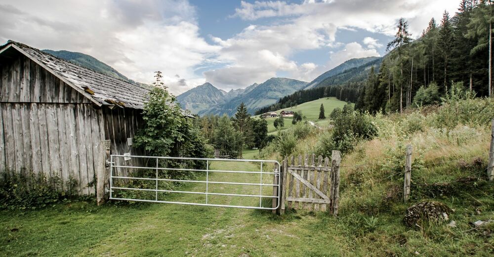
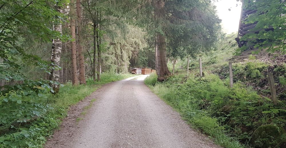
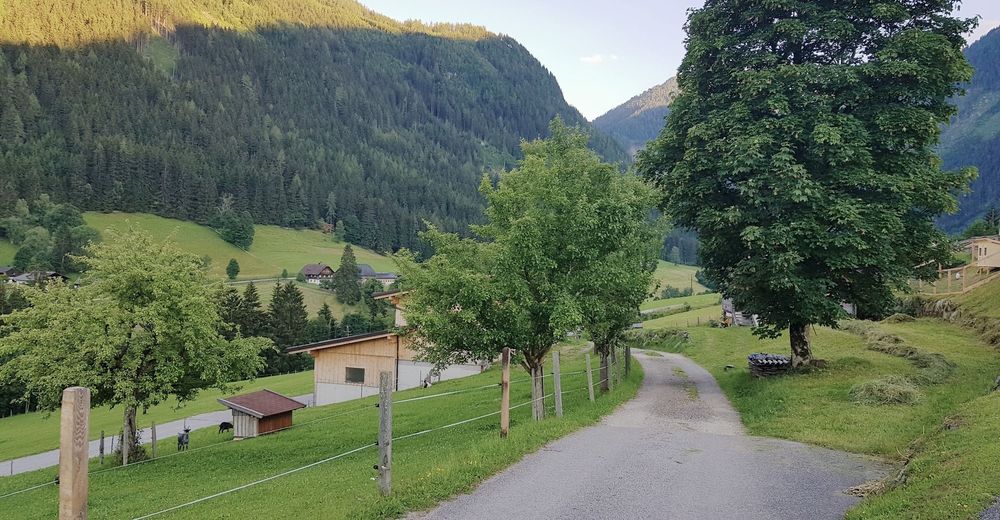
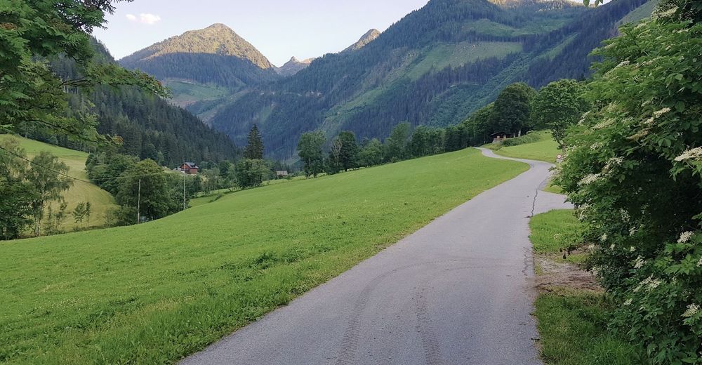
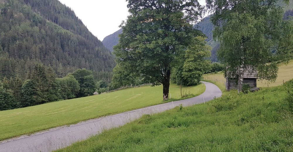
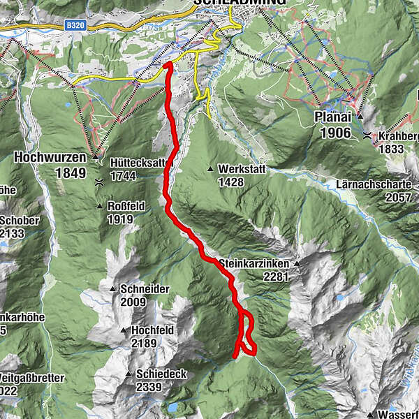
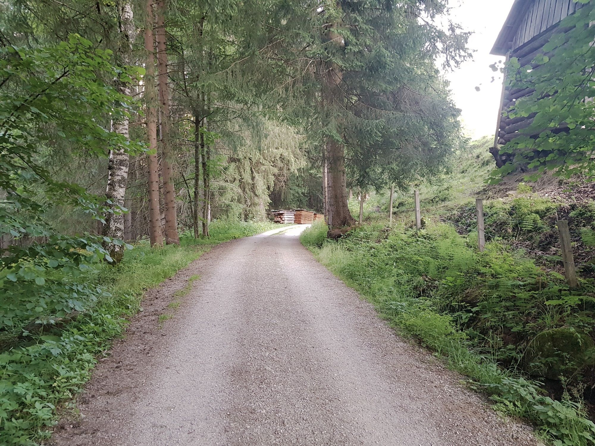
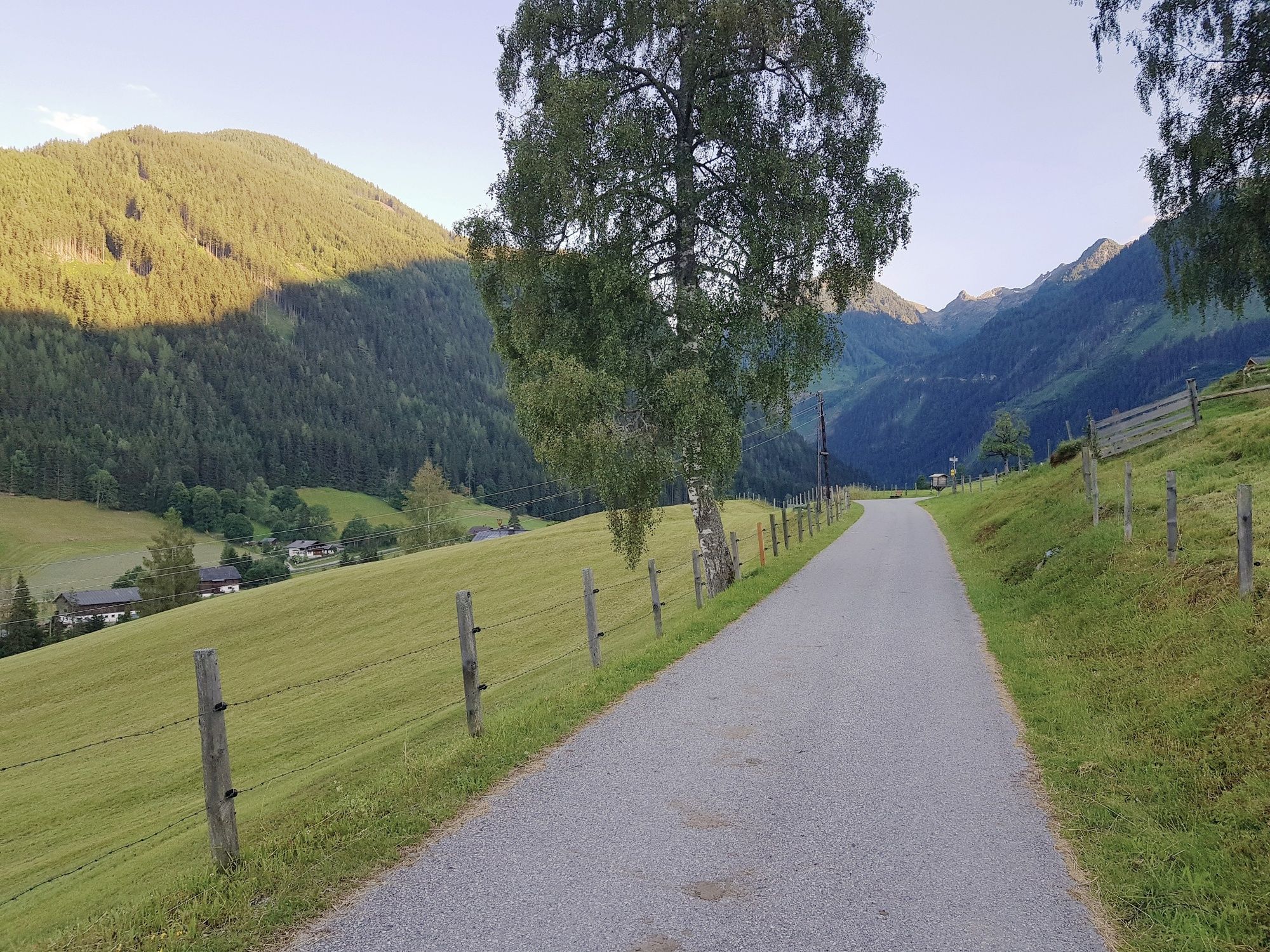
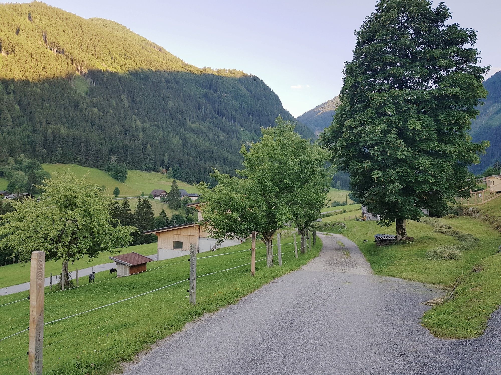
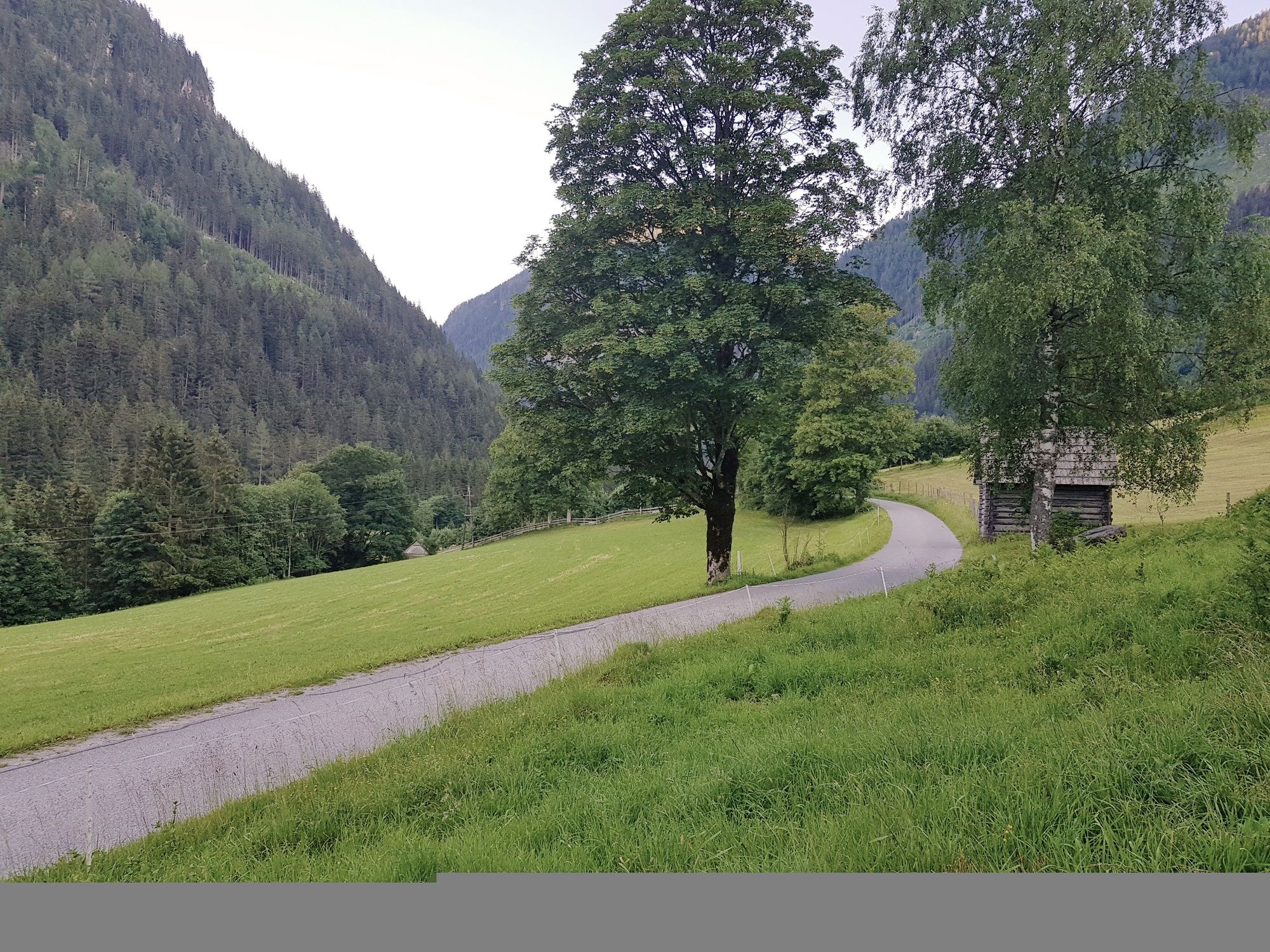
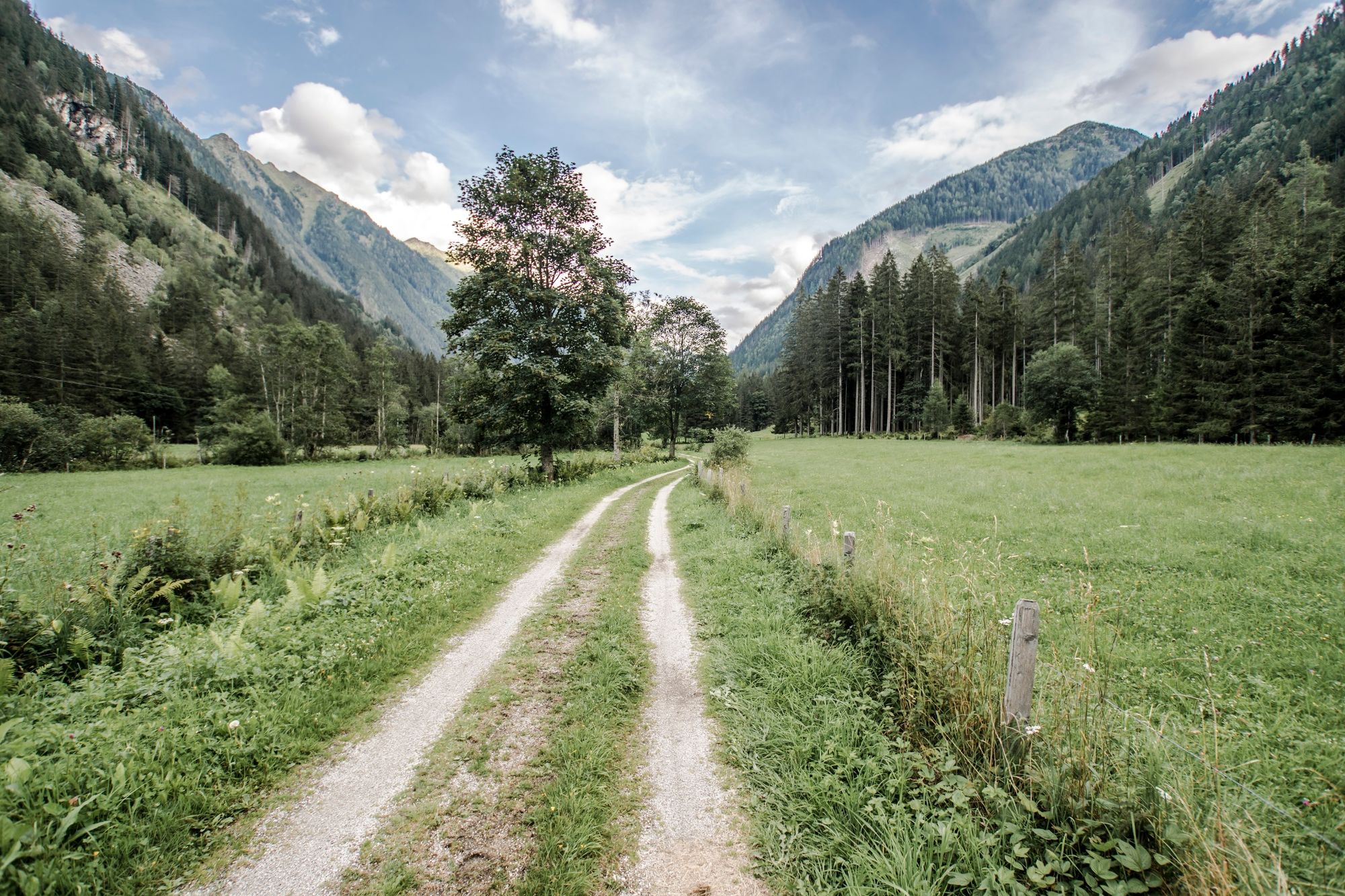
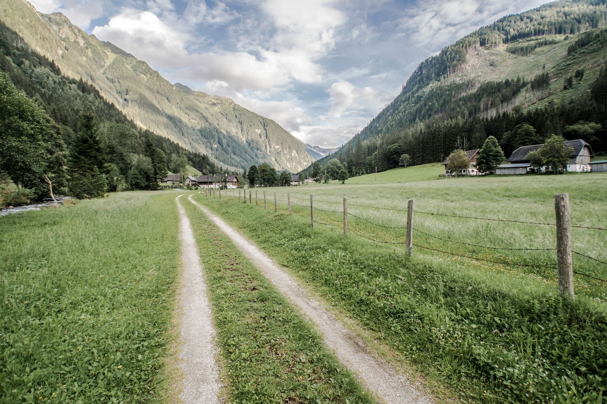
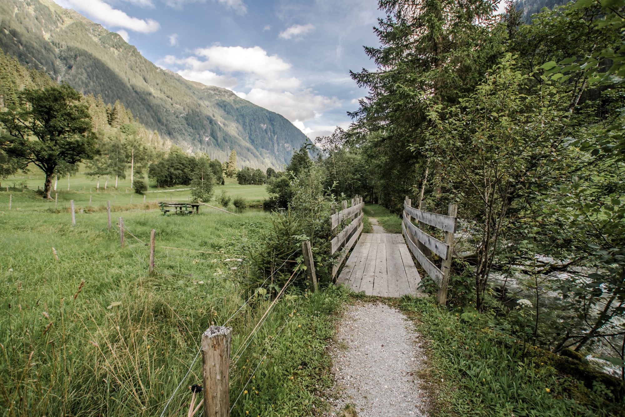
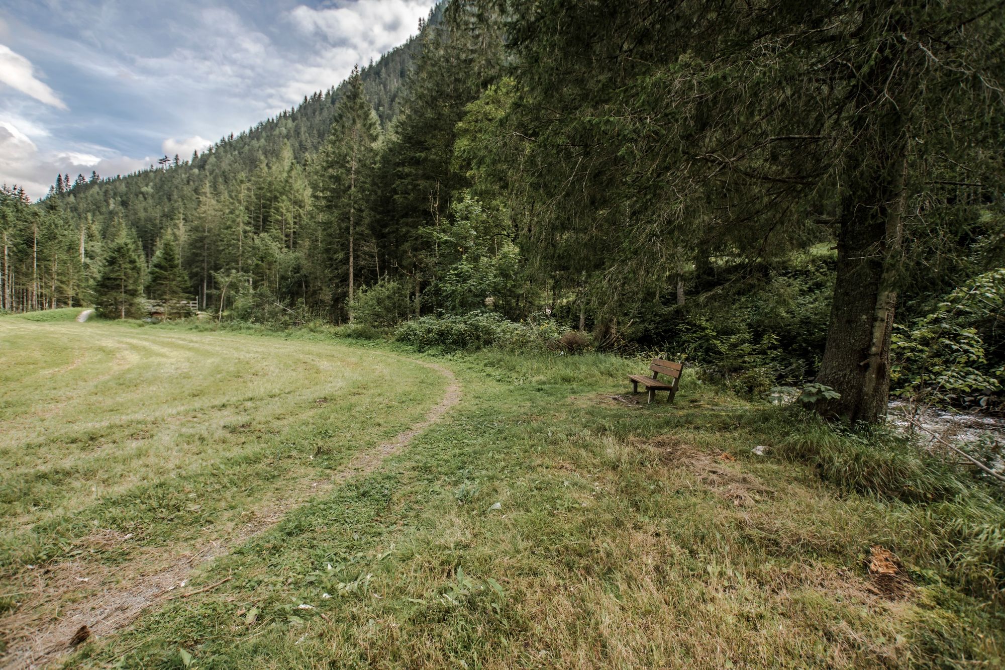
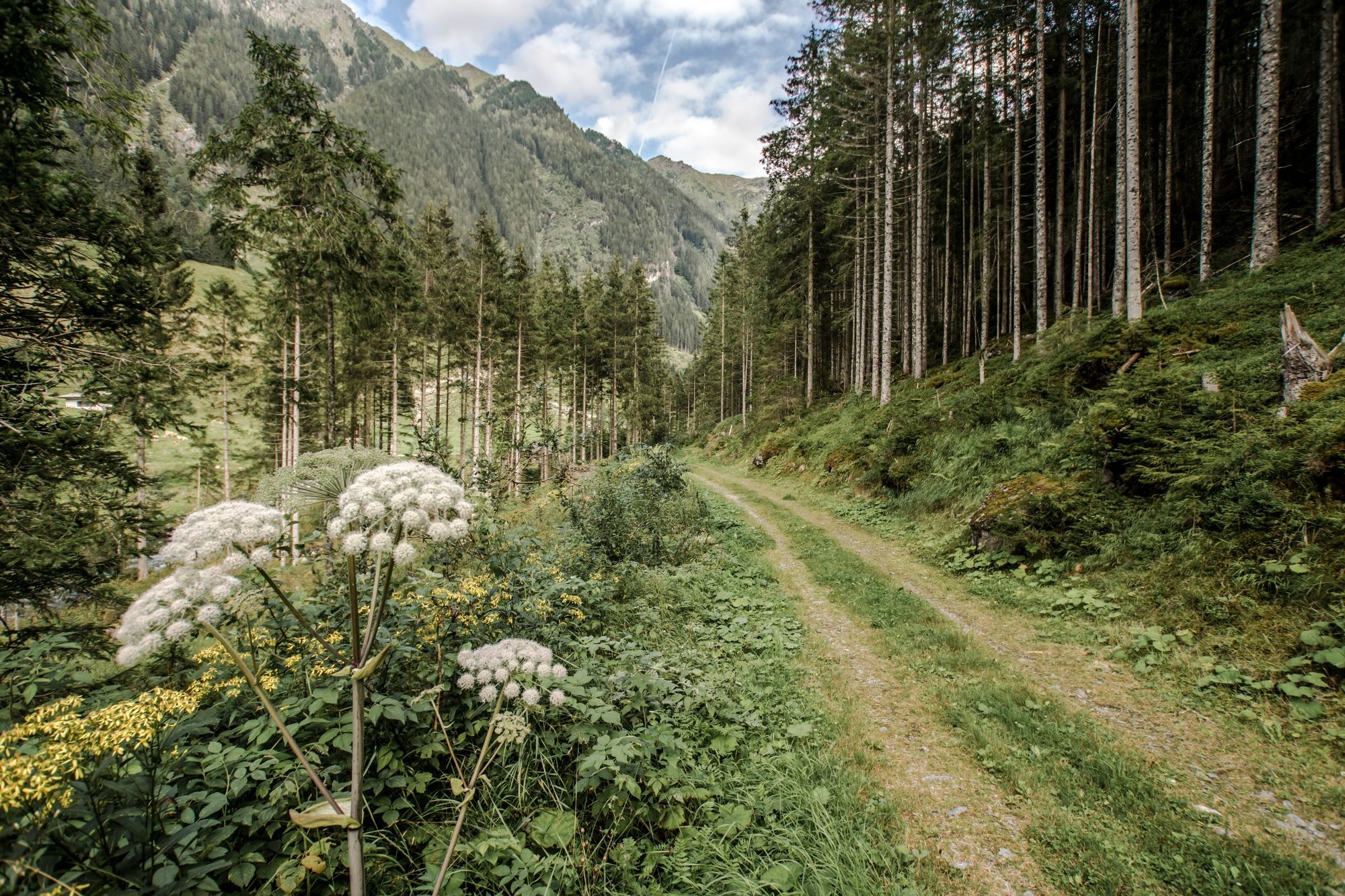
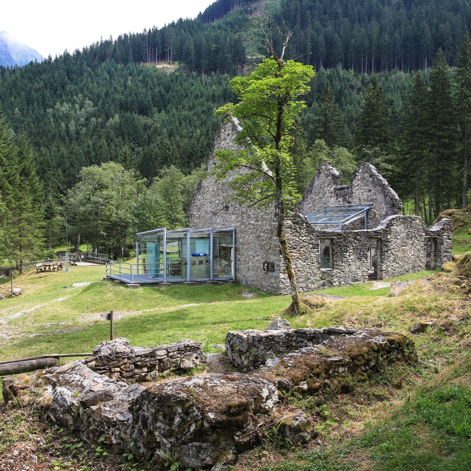
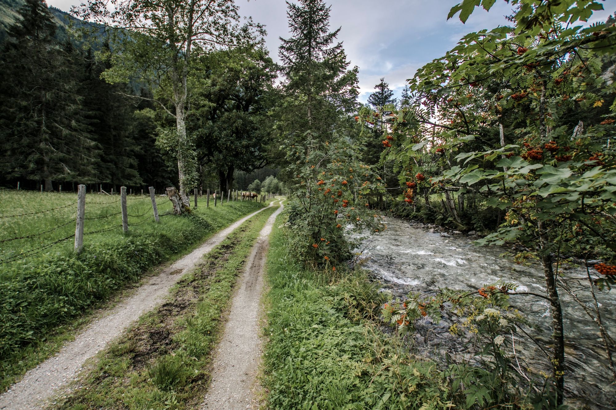
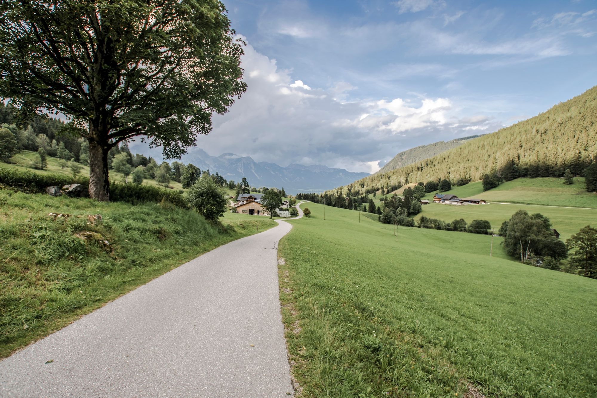
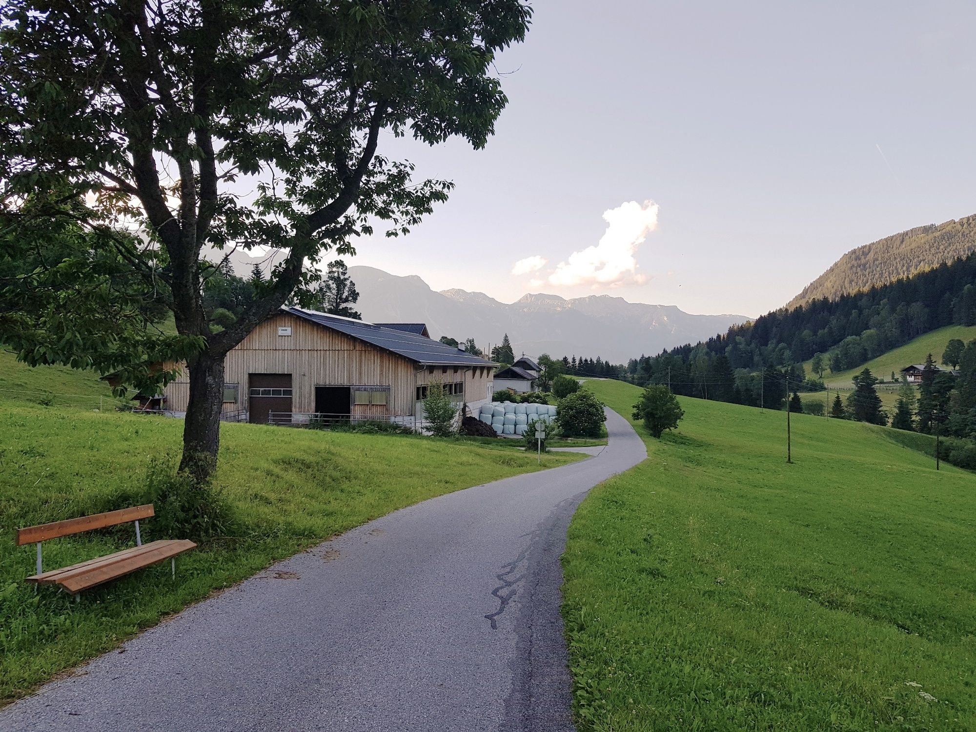
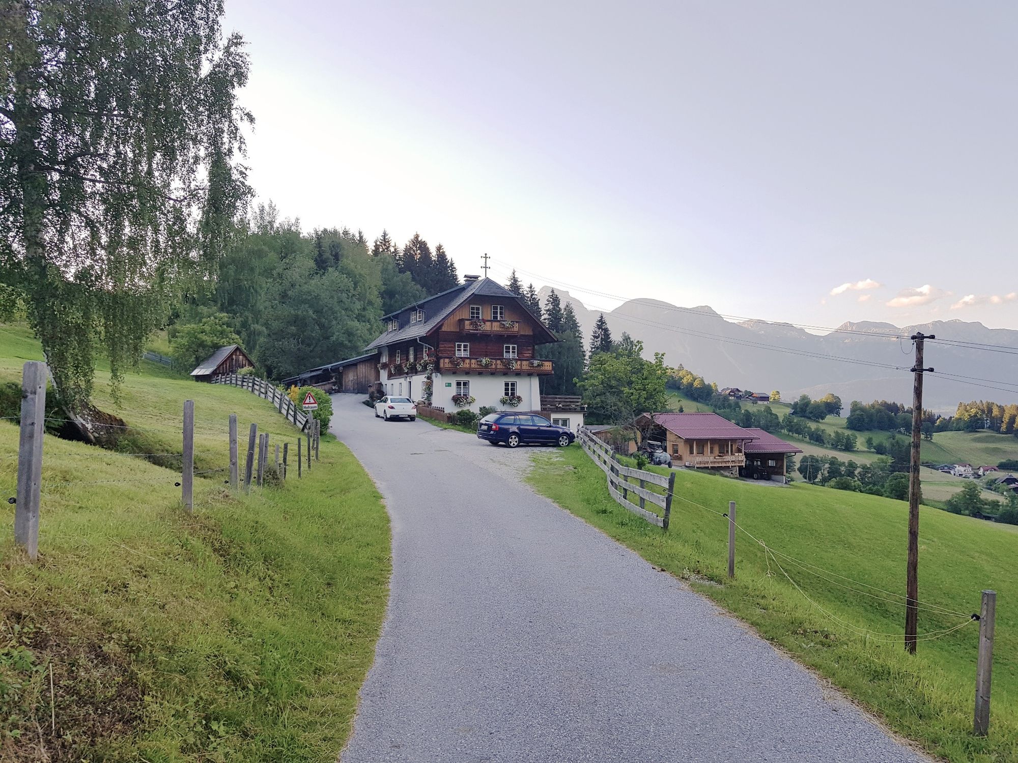
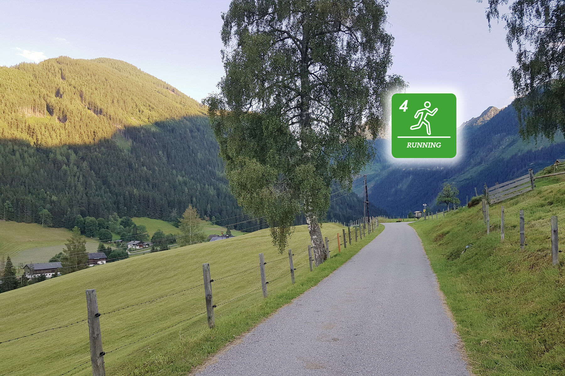
The run starts at the old sawmill at "Schwaigerweg" road and has a length of 18 kilometers with an elevation gain of 235 m. The run takes you to the valley head of Obertal valley in Hopfriesen and back.
- Vanskelighet
-
middels
- Evaluering
-
- Rute
-
Windbacherstubn3,3 kmTauerngold9,3 kmWehrhofalm10,9 kmWindbacherstubn14,8 km
- Beste sesong
-
jan.feb.marsaprilmaijunijuliaug.sep.okt.nov.des.
- Høyeste punkt
- 1.087 m
- Reisemål
-
Schwaigerweg road, Rohrmoos
- Høydeprofil
-


-

-
ForfatterTurneen Michael Tritscher Run brukes av outdooractive.com forutsatt.
GPS Downloads


Generell info
Forfriskningsstopp
Kulturell/Historisk
Flere turer i regionene