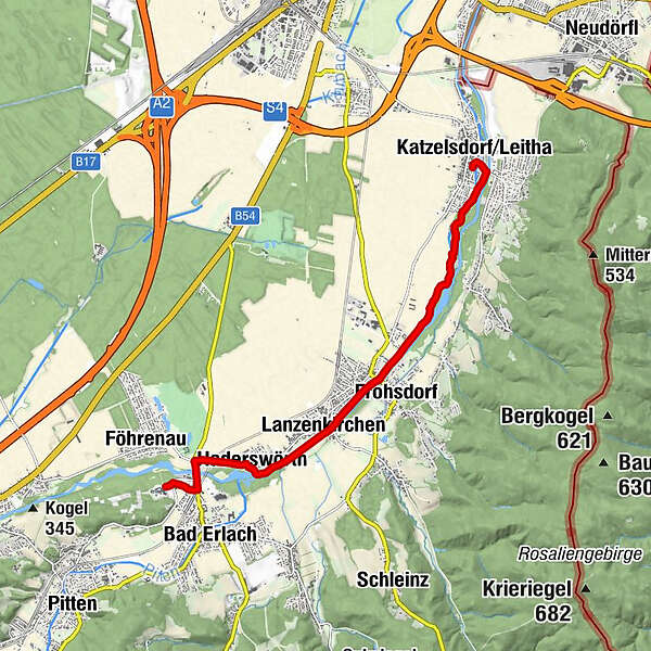
WAB - Regional Route A: Katzelsdorf - Lanzenkirchen - Bad Erlach

© ©Marktgemeinde Bad Erlach - Wiener Alpen in Niederösterreich
© © Wiener Alpen in Niederösterreich, Fotograf: Alois Rasinger - Wiener Alpen in Niederösterreich Tourismus GmbH
© ©Wolfgang Glock, CC BY 3.0

© ©Linsberg Asia

© ©Linsberg Asia

© ©Linsberg Asia
- Kort beskrivelse
-
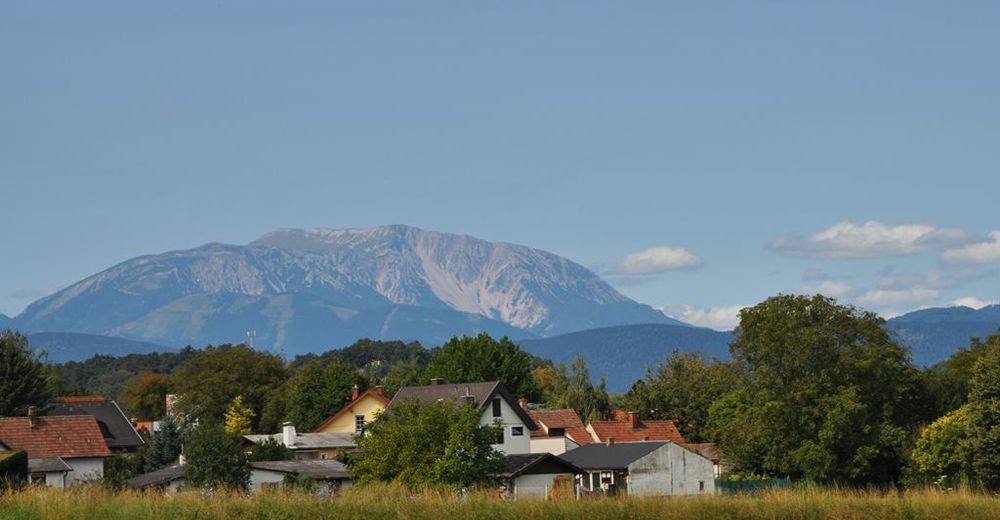
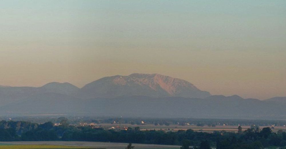
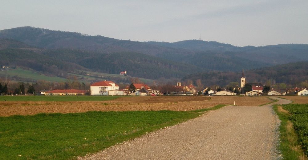
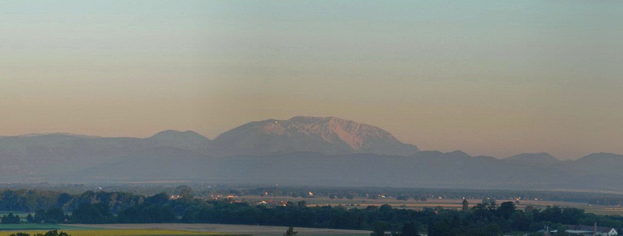
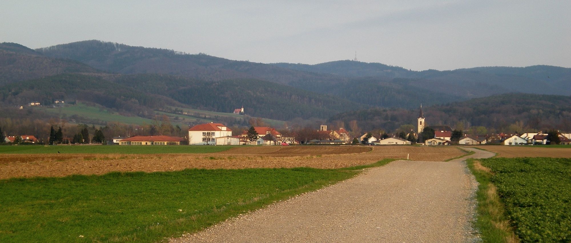
Regional Route A follows the Leitha river back to its source, the confluence of the Schwarza and Pitten rivers, and provides interesting views of the Schneeberg. The Regional Routes are part of the network of paths making up the Viennese Alps (WAB) route. Hikes along these routes lead you to unique views and also insights. The Regional Routes are linked to the network of paths making up the Viennese Alps route. This results in circular hikes in conjunction with the long-distance path.
- Vanskelighet
-
lett
- Evaluering
-
- Rute
-
Katzelsdorf/Leitha0,1 kmNepomukkapelle0,3 kmScheibel Au2,2 kmFrohsdorf4,3 kmKlein Wolkersdorf4,5 kmLanzenkirchen5,1 kmHaderswörth6,2 kmLeithaursprung6,6 kmMühlendorfer6,9 kmKapelle6,9 km
- Beste sesong
-
jan.feb.marsaprilmaijunijuliaug.sep.okt.nov.des.
- Høyeste punkt
- 310 m
- Reisemål
-
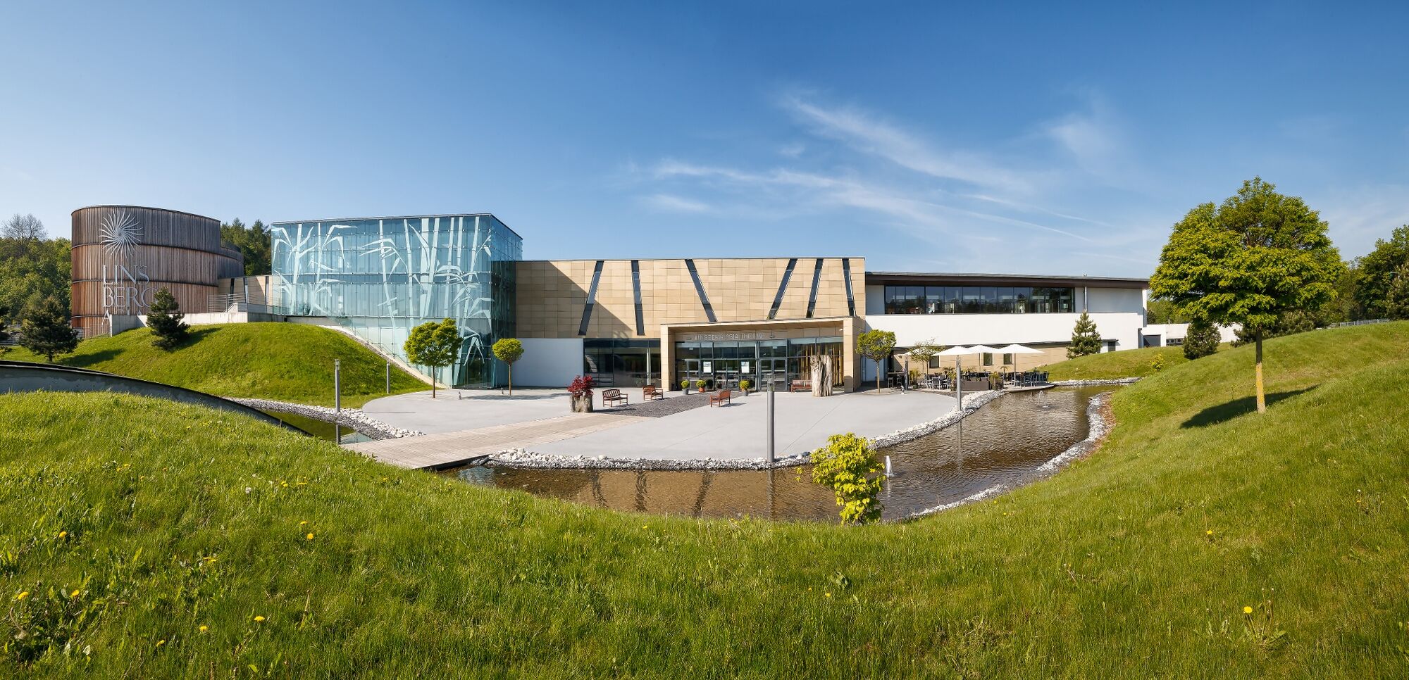
Bad Erlach Linsberg Asia Therme
- Høydeprofil
-


- Forfatter
-
Turneen WAB - Regional Route A: Katzelsdorf - Lanzenkirchen - Bad Erlach brukes av outdooractive.com forutsatt.
GPS Downloads


Generell info
Forfriskningsstopp
Lovende
Flere turer i regionene
-
Wiener Alpen
3048
-
Wechselland - Wiener Alpen
1704
-
Lanzenkirchen
349


")